Mount Richmond, Auckland
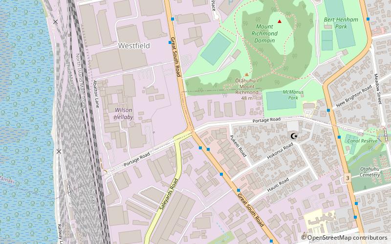
Map
Map

Facts and practical information
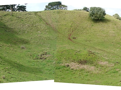
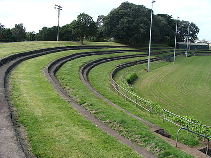
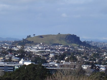
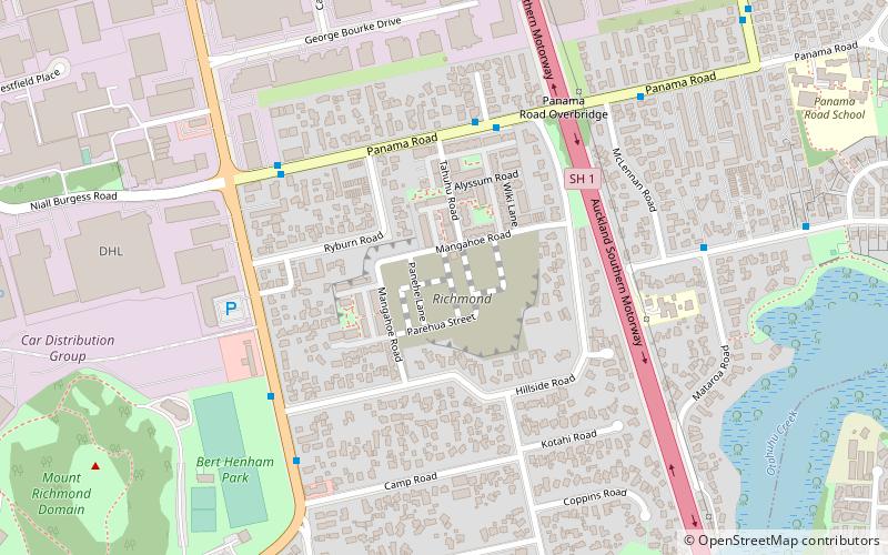
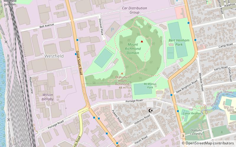
Ōtāhuhu / Mount Richmond is one of the volcanoes of the Auckland volcanic field. A group of scoria mounds up to 50 m high, it has two 50 m wide craters. It was the site of a pā, and retains some Māori earthworks from that time such as kumara pits and terracing. The nearby suburb of Otahuhu is named after the volcano. ()
Elevation: 295 ftCoordinates: 36°56'2"S, 174°50'17"E
Day trips
Mount Richmond – popular in the area (distance from the attraction)
Nearby attractions include: Robertson Hill, Maungarei, Portage Road, McLennan Hills.
Frequently Asked Questions (FAQ)
Which popular attractions are close to Mount Richmond?
Nearby attractions include Portage Road, Auckland (5 min walk), McLennan Hills, Auckland (15 min walk).
How to get to Mount Richmond by public transport?
The nearest stations to Mount Richmond:
Bus
Train
Bus
- Otahuhu Transport Interchange (18 min walk)
- Otahuhu (24 min walk)
Train
- Ōtāhuhu (24 min walk)
