Robertson Hill, Auckland
Map
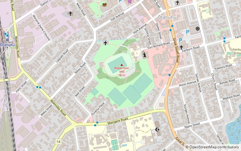
Map

Facts and practical information
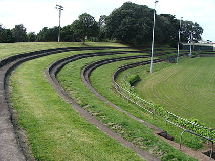
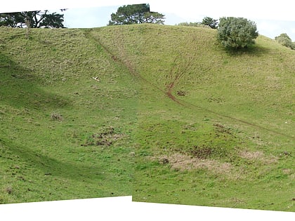
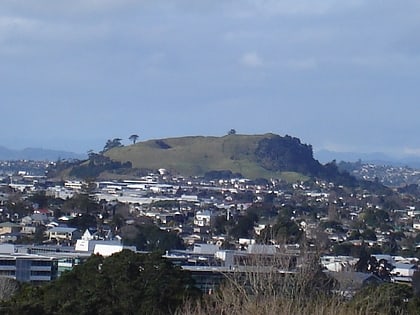
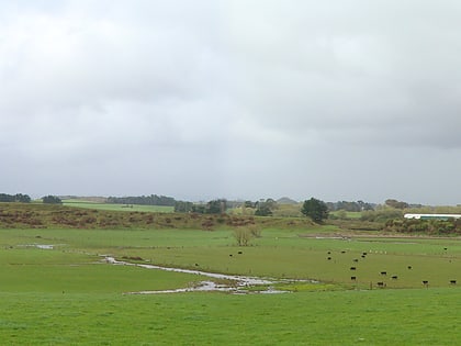
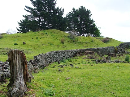
Robertson Hill is one of the volcanoes in the Auckland volcanic field in New Zealand. It erupted approximately 24,300 years ago. The hill, alongside Māngere Lagoon, Waitomokia, Crater Hill, Kohuora and Pukaki Lagoon, is one of the volcanic features collectively referred to as Nga Tapuwae a Mataoho, referring to the deity in Tāmaki Māori myths who was involved in their creation. ()
Coordinates: 36°56'57"S, 174°50'31"E
Address
South Auckland (Otahuhu)Auckland
ContactAdd
Social media
Add
Day trips
Robertson Hill – popular in the area (distance from the attraction)
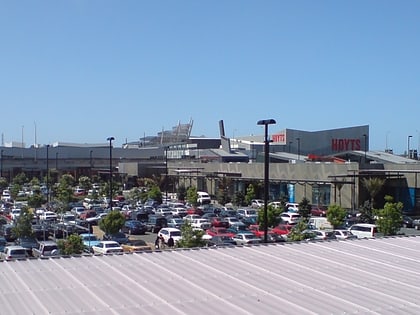
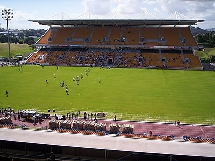
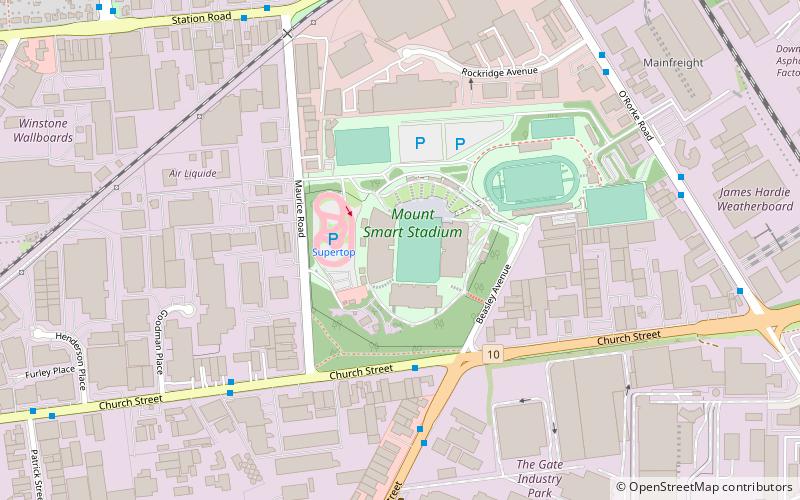
Nearby attractions include: Sylvia Park Shopping Centre, Mount Smart Stadium, Pakuranga Plaza, Ōtara.
Frequently Asked Questions (FAQ)
How to get to Robertson Hill by public transport?
The nearest stations to Robertson Hill:
Bus
Train
Bus
- Otahuhu Transport Interchange (12 min walk)
- Otahuhu (12 min walk)
Train
- Ōtāhuhu (13 min walk)
- Middlemore (25 min walk)
