McLennan Hills, Auckland
Map
Facts and practical information
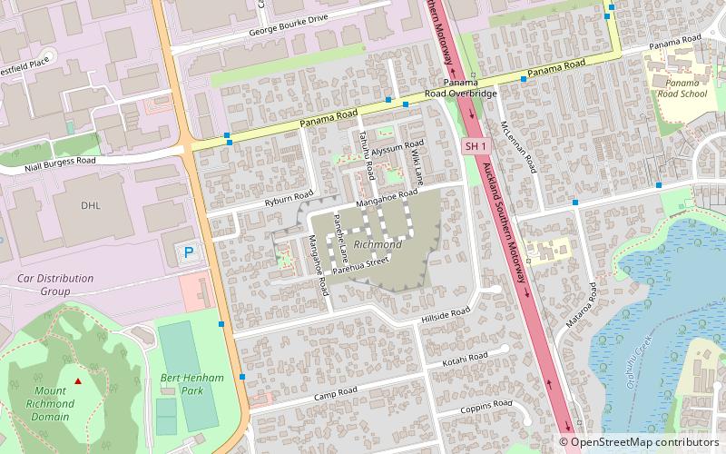
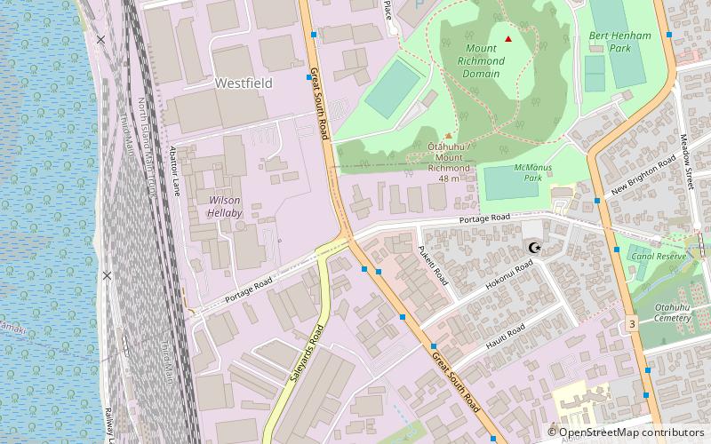
McLennan Hills is one of the volcanoes in the Auckland volcanic field. It was a group of cratered scoria mounds up to 45 m high, before it was quarried away. A 1940 aerial photo shows a crater around 100 m wide, one around 50 m wide, and 2 or 3 smaller craters. McLennan Hills, alongside neighbouring Ōtāhuhu / Mount Richmond, were the sites of fortified pā in pre-European times, important due to their location between the Waitematā Harbour/Tamaki River and the Manukau Harbour. Since the European settlement of Auckland, the scoria cone was quarried. The former quarry site was used for greenhouses before being redeveloped for housing. ()
Coordinates: 36°55'45"S, 174°50'47"E
Address
Central Auckland (Westfield)Auckland
ContactAdd
Social media
Add
Getting there by public transportation
Public transportation stops near this location
- Bus
- Train
 Bus
Bus
- Calculate routeOtahuhu Transport Interchange 25 min walk
- Calculate routeSylvia Park 27 min walk
Day trips


Frequently Asked Questions (FAQ)
Which popular attractions are close to McLennan Hills?
Nearby attractions include Mount Richmond, Auckland (15 min walk), Portage Road, Auckland (19 min walk).
How to get to McLennan Hills by public transport?
The nearest stations to McLennan Hills:
Bus
Train
Bus
- Otahuhu Transport Interchange (25 min walk)
Train
- Sylvia Park (27 min walk)