Portage Road, Auckland
Map
Facts and practical information
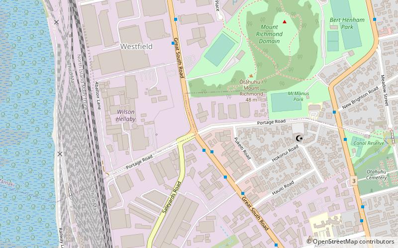
Portage Road in the Otahuhu suburb of Auckland, New Zealand, follows the path of a former Maori canoe portage between the Tamaki River and the Manukau Harbour, which facilitated access between the eastern and western sides of the North Island. The history of the site is described in a plaque that is embedded in a concrete plinth at the intersection of Portage Road and Great South Road. The road marked the northernmost boundary of the Borough of Otahuhu until it was absorbed into the new City of Tamaki, then later on, Auckland City and Auckland Region. ()
Coordinates: 36°56'8"S, 174°50'10"E
Address
Central Auckland (Westfield)Auckland
ContactAdd
Social media
Add
Getting there by public transportation
Public transportation stops near this location
- Bus
- Train
 Bus
Bus
- Calculate routeOtahuhu Transport Interchange 17 min walk
- Calculate routeOtahuhu 21 min walk
- Calculate routeŌtāhuhu 20 min walk
Day trips


Frequently Asked Questions (FAQ)
Which popular attractions are close to Portage Road?
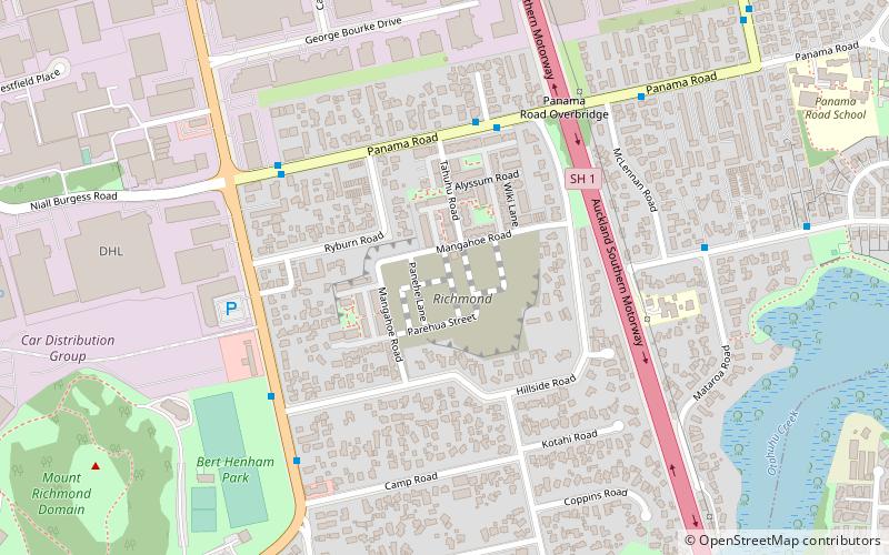
Nearby attractions include Mount Richmond, Auckland (5 min walk), McLennan Hills, Auckland (19 min walk).
How to get to Portage Road by public transport?
The nearest stations to Portage Road:
Bus
Train
Bus
- Otahuhu Transport Interchange (17 min walk)
- Otahuhu (21 min walk)
Train
- Ōtāhuhu (20 min walk)