Puketāpapa, Auckland
Map

Map

Facts and practical information
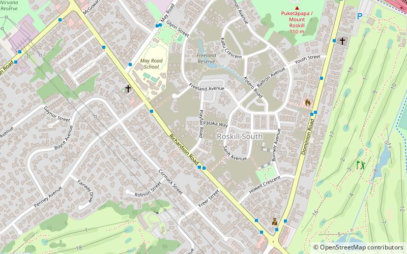
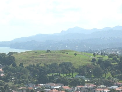
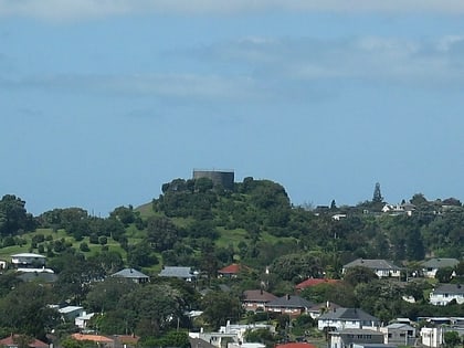
Puketāpapa, also known as Pukewīwī and by its English name Mount Roskill, is a volcanic peak and the suburban area in the city of Auckland, New Zealand. It is located in the suburb that it gave its name, Mount Roskill. ()
Coordinates: 36°55'0"S, 174°44'0"E
Address
Central Auckland (Mount Roskill)Auckland
ContactAdd
Social media
Add
Day trips
Puketāpapa – popular in the area (distance from the attraction)
Nearby attractions include: Hinaki Eel Trap Bridge, Mount Roskill, Te Tatua-a-Riukiuta, Masjid Umar.
Frequently Asked Questions (FAQ)
How to get to Puketāpapa by public transport?
The nearest stations to Puketāpapa:
Bus
Bus
- Dominion Road / Hillsborough Heights Village • Lines: 25L (24 min walk)
- Winstone Road • Lines: 66, 670 (25 min walk)


