Hinaki Eel Trap Bridge, Auckland
Map
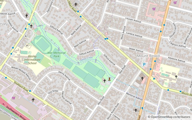
Map

Facts and practical information
The Hinaki Bridge, also known as the Eel Trap Bridge, is a 20 metre long footbridge located in War Memorial Park, Mount Roskill, Auckland, New Zealand. The bridge spans over Oakley Creek and is used by cyclists and pedestrians. The culturally enriched architectural footbridge forms part of the wider Dominion Road Upgrade project led by Auckland Transport. ()
Coordinates: 36°54'12"S, 174°44'13"E
Address
Central Auckland (Wesley)Auckland
ContactAdd
Social media
Add
Day trips
Hinaki Eel Trap Bridge – popular in the area (distance from the attraction)
Nearby attractions include: Mount Roskill, Mount Albert, Sandringham, Te Tatua-a-Riukiuta.
Frequently Asked Questions (FAQ)
Which popular attractions are close to Hinaki Eel Trap Bridge?
Nearby attractions include Mount Roskill, Auckland (9 min walk), Dominion Road, Auckland (16 min walk), Masjid Umar, Auckland (19 min walk).
How to get to Hinaki Eel Trap Bridge by public transport?
The nearest stations to Hinaki Eel Trap Bridge:
Bus
Bus
- Kiwitea Street • Lines: 66, 670 (7 min walk)
- Winstone Road • Lines: 66, 670 (9 min walk)

