Te Tatua-a-Riukiuta, Auckland
Map
Gallery
Facts and practical information
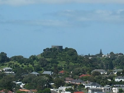
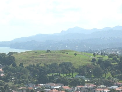
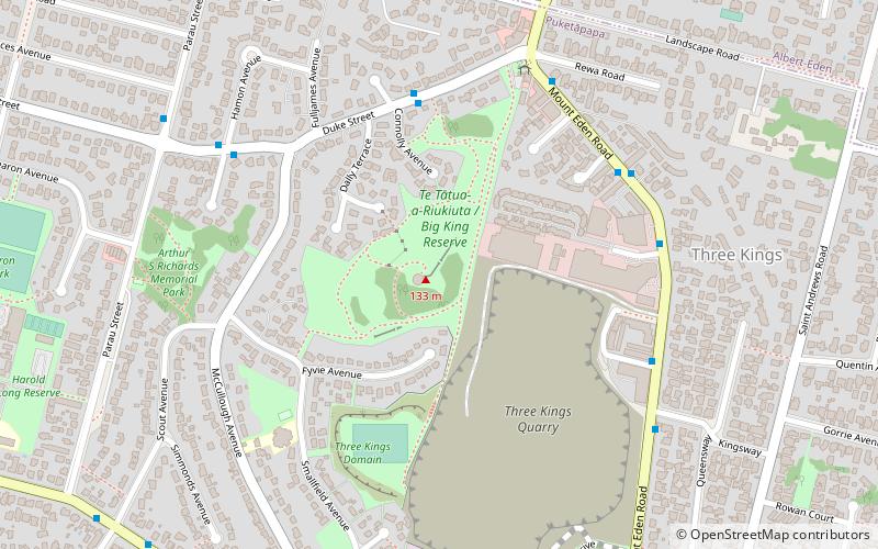
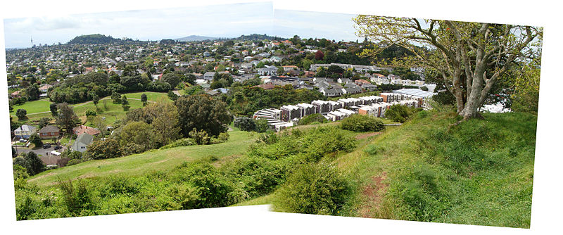
Te Tātua-a-Riukiuta is a volcano in Three Kings, New Zealand that erupted 28,500 years ago. The volcano had three prominent peaks and a number of smaller peaks until most of them were quarried away, leaving a sole remaining large peak called Big King. ()
Elevation: 436 ftCoordinates: 36°54'10"S, 174°45'18"E
Address
Central Auckland (Three Kings)Auckland
ContactAdd
Social media
Add
Day trips
Te Tatua-a-Riukiuta – popular in the area (distance from the attraction)
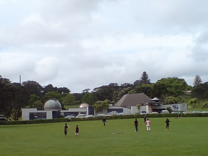
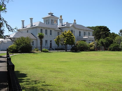
Nearby attractions include: Stardome Observatory, Pah Homestead, Hinaki Eel Trap Bridge, Mount Roskill.
Frequently Asked Questions (FAQ)
Which popular attractions are close to Te Tatua-a-Riukiuta?
Nearby attractions include Mount Roskill, Auckland (18 min walk), Dominion Road, Auckland (19 min walk), Pah Homestead, Auckland (24 min walk).
How to get to Te Tatua-a-Riukiuta by public transport?
The nearest stations to Te Tatua-a-Riukiuta:
Bus
Bus
- Hayr Road • Lines: 66, 670 (12 min walk)
- Three Kings Plaza • Lines: 27H, 27W, 66, 670, Sky (12 min walk)
