Symonds Street, Auckland
Map
Facts and practical information
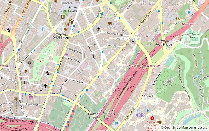
Symonds Street is a street in Auckland, New Zealand's most populous city. It was the main road going south from Auckland, and was named after William Cornwallis Symonds in 1842, soon after his death. The road runs southwest and uphill from the top of Anzac Avenue, through the City Campus of University of Auckland, over the Northwestern Motorway and Auckland Southern Motorway and to the start of New North Road and Mount Eden Road. ()
Coordinates: 36°51'22"S, 174°45'58"E
Address
Central Auckland (Auckland Central Business District)Auckland
ContactAdd
Social media
Add
Getting there by public transportation
Public transportation stops near this location
- Bus
- Tram
- Train
- Ferry
 Bus
Bus
- Calculate routeKarangahape Road 7 min walk
- Calculate routeAut 6 min walk
- Calculate route7158 7 min walk
- Calculate routeParnell 17 min walk
- Calculate routeGrafton 18 min walk
- Calculate routeBritomart 21 min walk
- Calculate routeThe Strand 23 min walk
- Calculate routeDowntown Pier 1 24 min walk
- Calculate routeDowntown Pier 2 24 min walk
- Calculate routeDowntown Pier 11 24 min walk
- Calculate routeDowntown Pier 14 25 min walk
- Calculate routeGaunt Street 24 min walk
- Calculate routeDaldy Street 27 min walk
- Calculate routeHalsey Street 28 min walk
- Calculate routeJellicoe Street 31 min walk
Day trips


Frequently Asked Questions (FAQ)
Which popular attractions are close to Symonds Street?
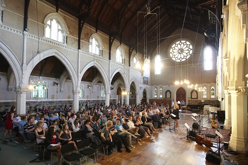
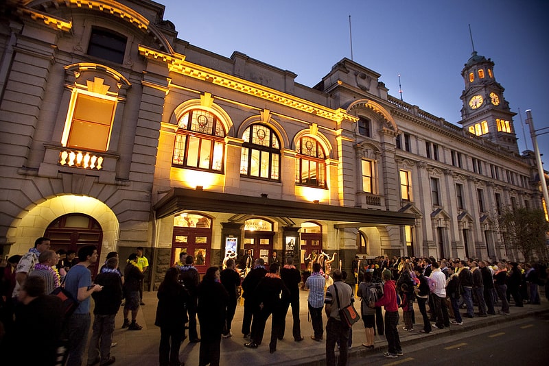
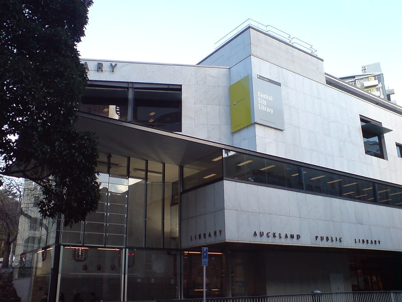
Nearby attractions include St Paul's Church, Auckland (4 min walk), Grafton Gully, Auckland (5 min walk), University of Auckland, Auckland (6 min walk), Grafton Bridge, Auckland (6 min walk).
How to get to Symonds Street by public transport?
The nearest stations to Symonds Street:
Bus
Train
Ferry
Tram
Bus
- Karangahape Road • Lines: 22R, 24B, 24R, 25B, 25L, 27H, 27W, 295, 309, 309X, 75, Cty, Sky (7 min walk)
- Aut • Lines: 25B, 25L, Out (6 min walk)
Train
- Parnell (17 min walk)
- Grafton (18 min walk)
Ferry
- Downtown Pier 1 (24 min walk)
- Downtown Pier 2 (24 min walk)
Tram
- Gaunt Street • Lines: Wynyard Loop (24 min walk)
- Daldy Street • Lines: Wynyard Loop (27 min walk)