Quarantine Island / Kamau Taurua
Map
Facts and practical information
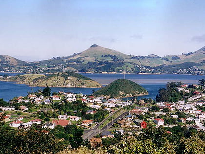
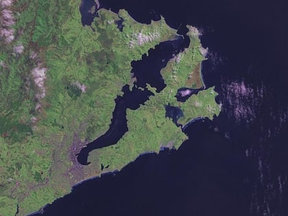
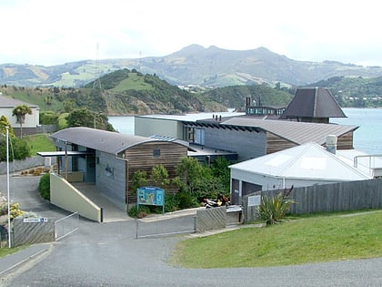
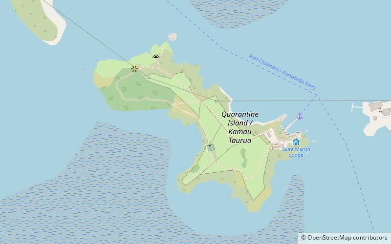
Quarantine Island/Kamau Taurua is the largest island in Otago Harbour, close to the city of Dunedin, New Zealand. The island covers an area of 15 hectares, and is a publicly accessible recreation reserve. The buildings on the island are owned by Quarantine Island/Kamau Taurua Community. Its management is shared between QIKTC and the Department of Conservation. ()
Area: 37.07 acres (0.0579 mi²)Coordinates: 45°49'42"S, 170°37'59"E
Location
Otago
ContactAdd
Social media
Add
Day trips
Quarantine Island / Kamau Taurua – popular in the area (distance from the attraction)
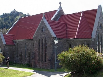
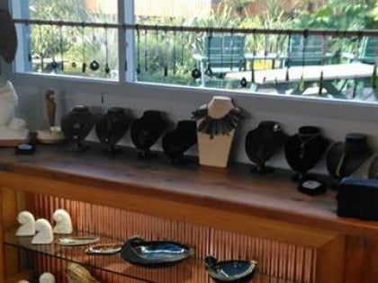
Nearby attractions include: Holy Trinity Church, N.Z Greenstone, Rakiriri, Otago Harbour.
