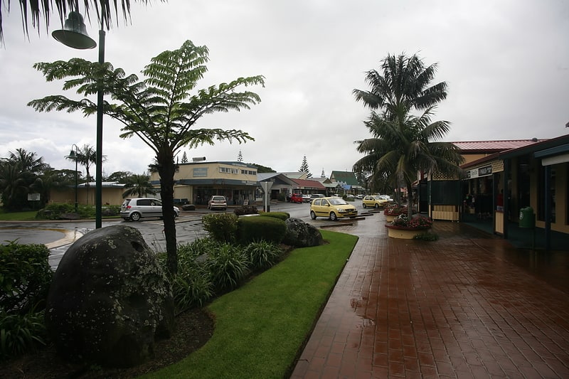
Burnt Pine
Gallery (1)
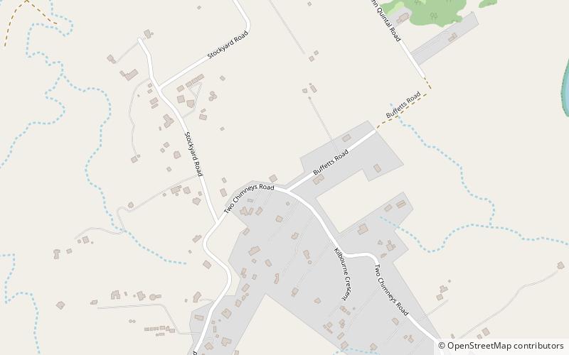
Map
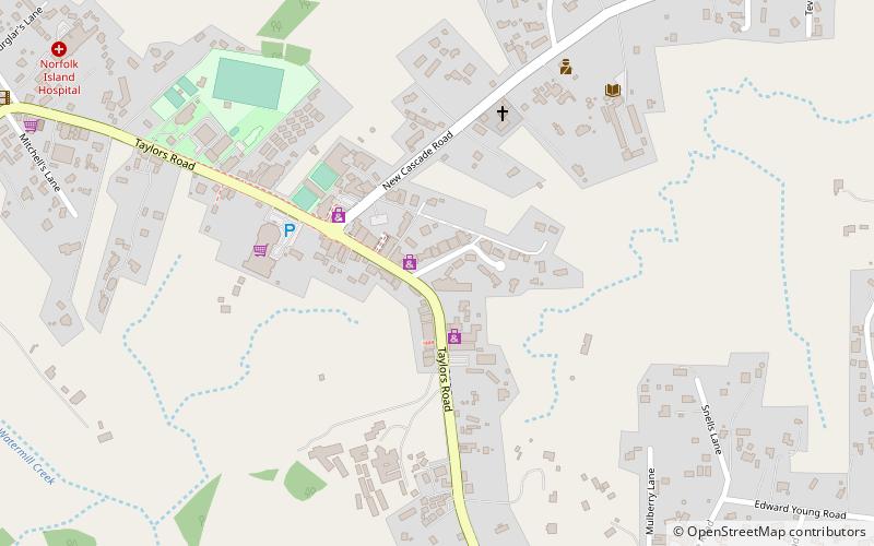
Map
Facts and practical information
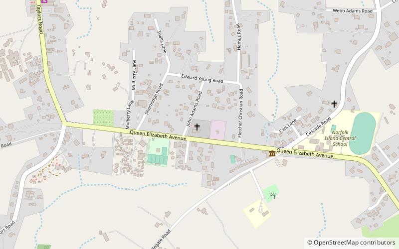
Burnt Pine is the largest town on Norfolk Island. It is the main commercial hub of the island, and travel from one side of the island to another generally involves passing through Burnt Pine as the island's sole thoroughfare runs through the town's centre. ()
LocationAdd
ContactAdd
Social media
Add
Day trips