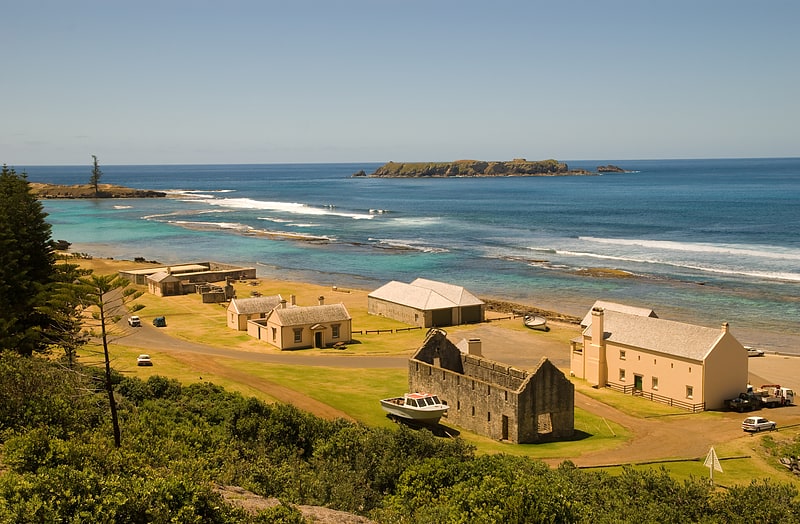
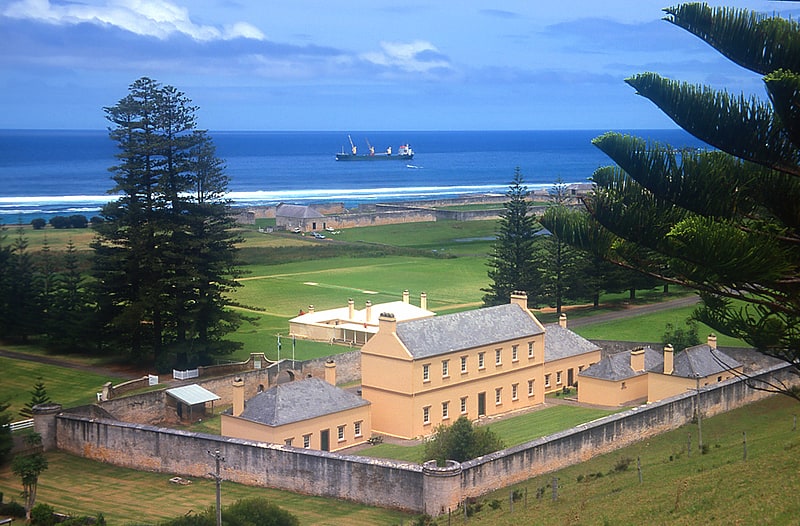
Kingston and Arthur's Vale Historic Area
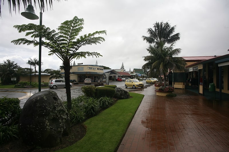
Gallery (1)
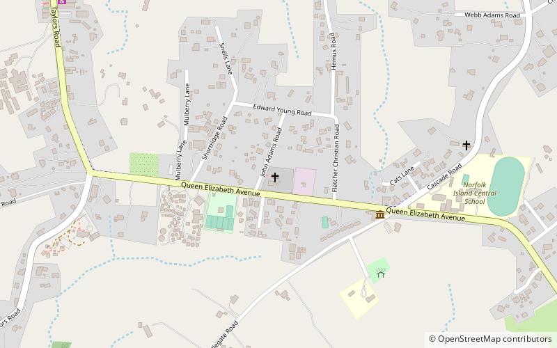
Map
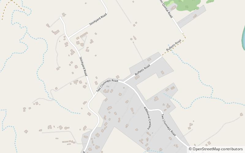
Map
Facts and practical information
Kingston and Arthurs Vale Historic Area is an old settlement on the Kingston coastal plains, southern side of Norfolk Island, consisting of a large group of buildings from the British Empire's convict era, now considered to be of such cultural significance to Australia and to the World that the area has been formally inscribed onto both the Australian National Heritage List and UNESCO's World Heritage list as amongst: ()
Day trips