Mount Bates, Norfolk Island National Park
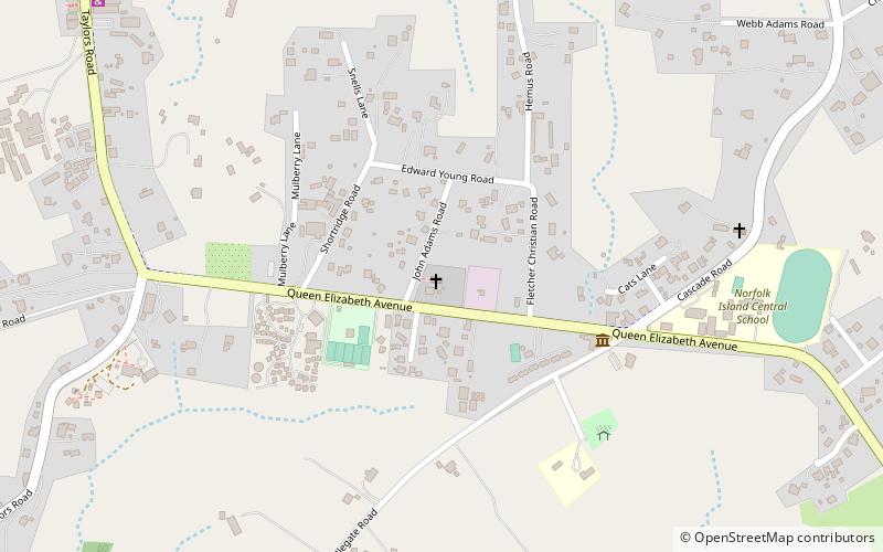
Map
Facts and practical information
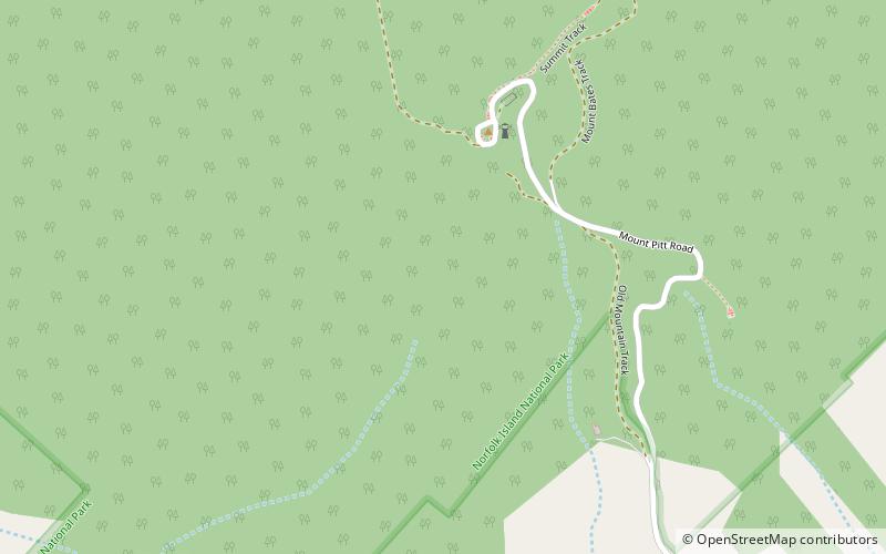
Mount Bates is the highest point of Norfolk Island, an external territory of Australia, at 319 metres above sea level. ()
AddressAdd
ContactAdd
Social media
Add
Day trips
Mount Bates – popular in the area (distance from the attraction)
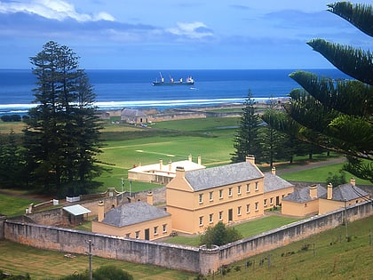
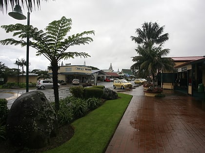
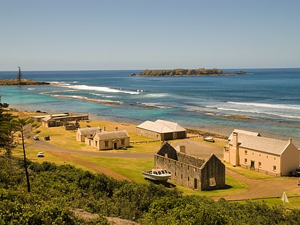
Nearby attractions include: Kingston and Arthur's Vale Historic Area, St. Philip Howard Church, Burnt Pine, Kingston.
