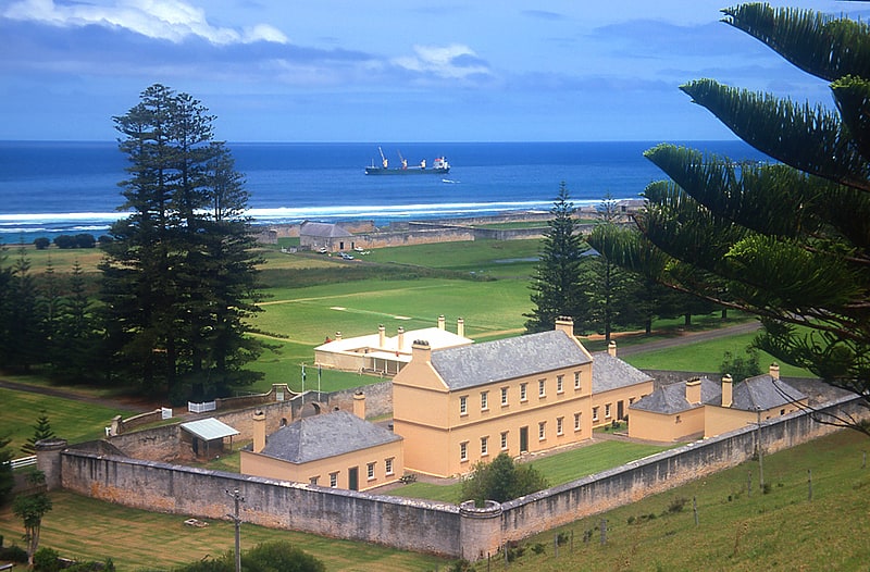
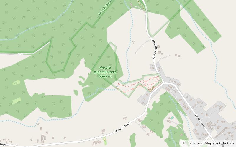
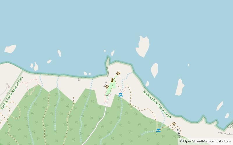
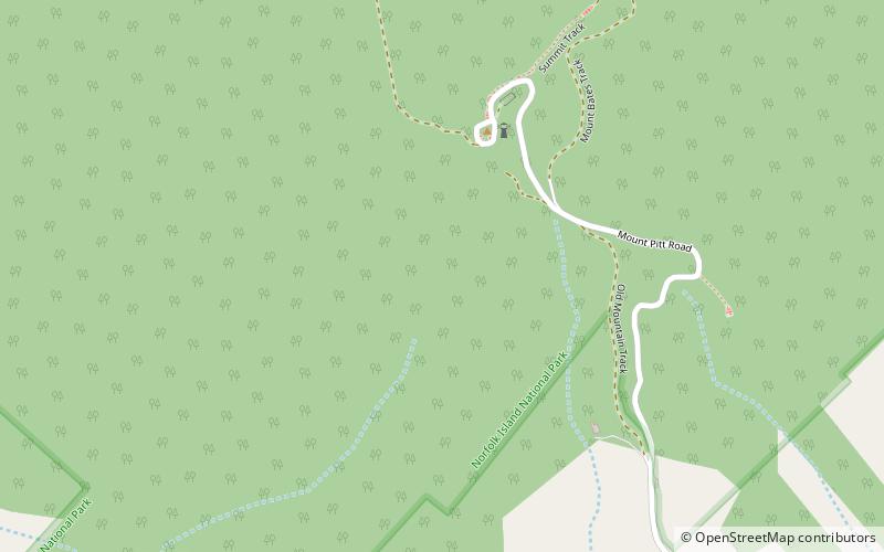
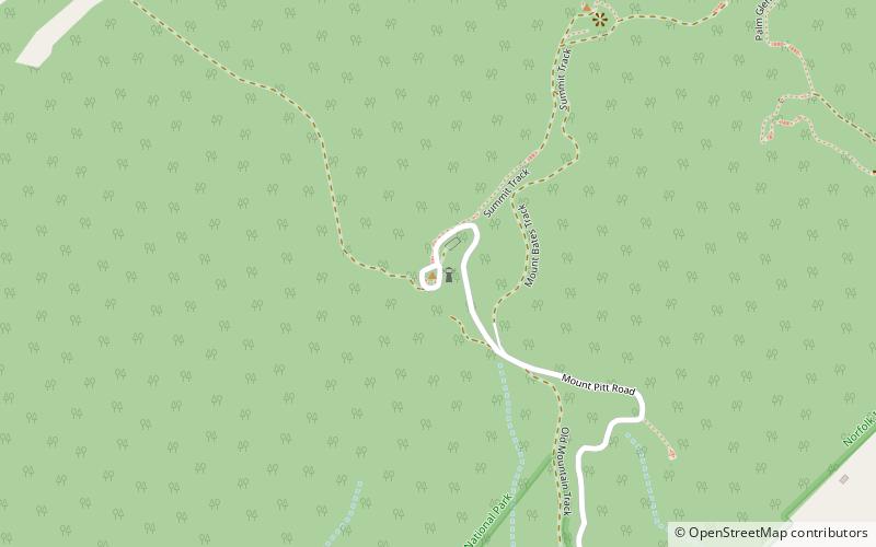
Mount Pitt, Norfolk Island National Park
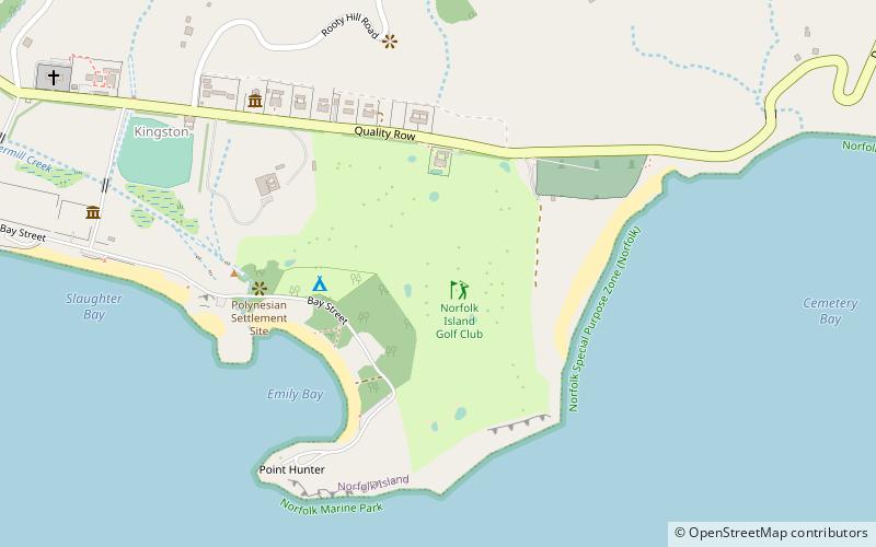
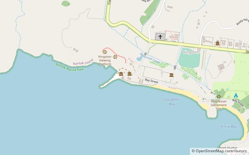
Map
Facts and practical information
Mount Pitt is a place located in Norfolk Island National Park and belongs to the category of view point.
It is situated at an altitude of 988 feet, and its geographical coordinates are 29°0'57"S latitude and 167°56'13"E longitude.
Among other places and attractions worth visiting in the area are: Mount Bates (nature, 5 min walk), Botanic garden (park, 17 min walk), Captain Cook's Monument (monuments and statues, 27 min walk).
Coordinates: 29°0'57"S, 167°56'13"E
AddressAdd
ContactAdd
Social media
Add
Day trips