Ytterdalsgubben, Nordenskiöld Land National Park
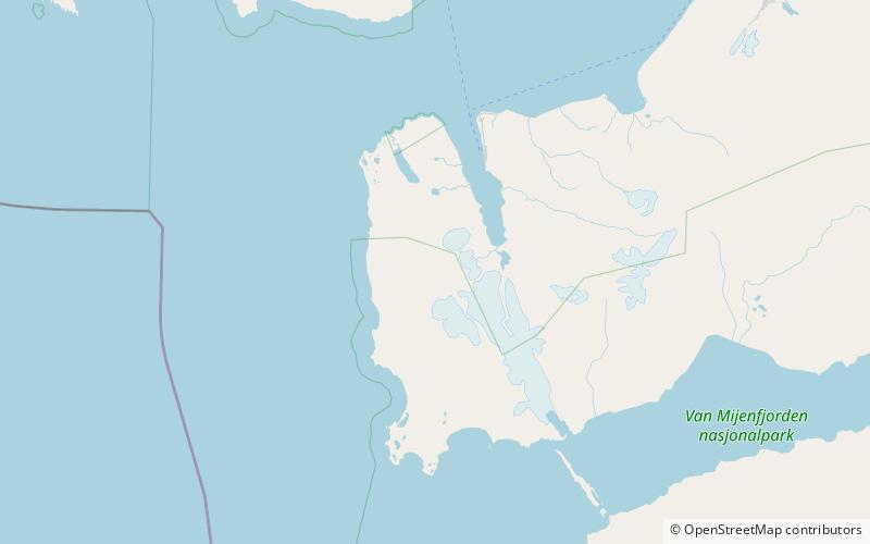
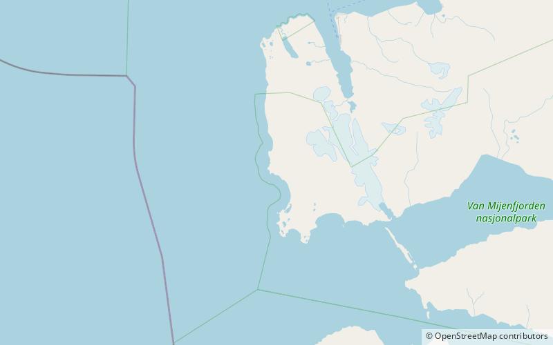
Map
Facts and practical information
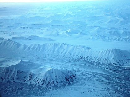
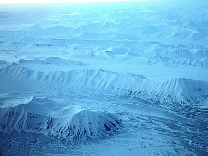
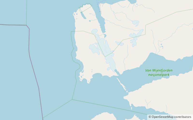
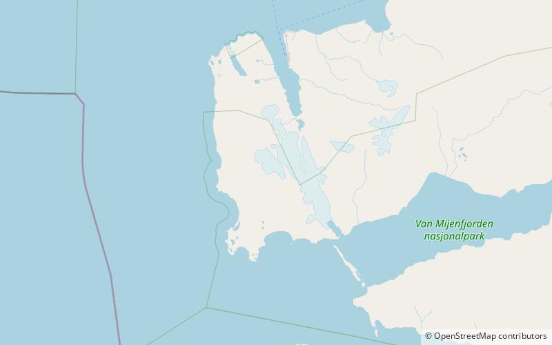
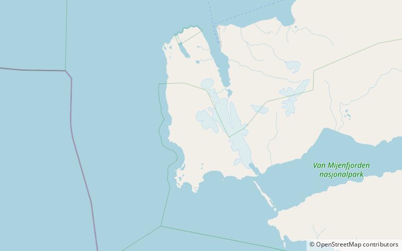
Ytterdalsgubben is a mountain in Nordenskiöld Land at Spitsbergen, Svalbard. It has a height of 901 m.a.s.l. and is located between the plain of Lågnesflya and the glacier of Erdmannbreen. Neighbouring mountains are Malmberget and Kosterfjellet. Viewed from the sea, Ytterdalsgubben is a pyramid shaped landmark, and the highest mountain viewed at this part of the coast. ()
Coordinates: 77°52'33"N, 13°59'43"E
Address
Nordenskiöld Land National Park
ContactAdd
Social media
Add
Day trips
Ytterdalsgubben – popular in the area (distance from the attraction)
Nearby attractions include: Ytterdalen, Ytterdalsegga, Orustdalen, Femvatna.
