Ytterdalsegga, Nordenskiöld Land National Park
Map
Map

Facts and practical information
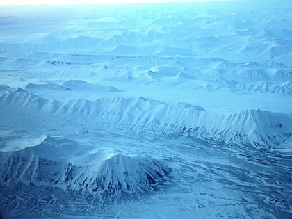
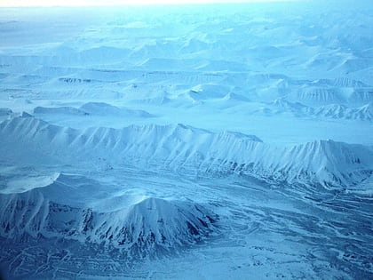
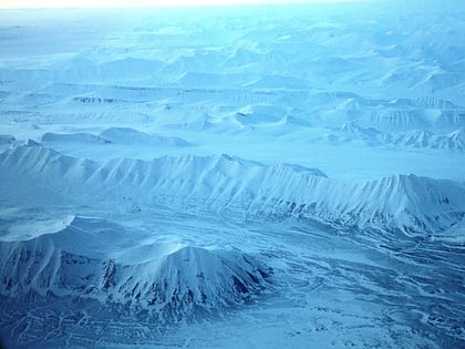
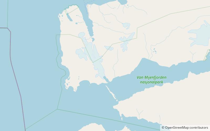
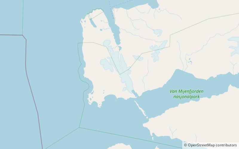
Ytterdalsegga is a mountain ridge in Nordenskiöld Land at Spitsbergen, Svalbard. It has a length of about seven kilometers, and is located between the valley of Ytterdalen and the glacier of Fridtjovbreen. The highest peaks on the ridge are Foldtinden and Eggtinden. ()
Coordinates: 77°50'54"N, 14°17'48"E
Address
Nordenskiöld Land National Park
ContactAdd
Social media
Add
Day trips
Ytterdalsegga – popular in the area (distance from the attraction)
Nearby attractions include: Ytterdalen, Fridtjovbreen, Sefströmkammen, Ytterdalsgubben.
