Ytterdalen, Nordenskiöld Land National Park
Map
Map

Facts and practical information
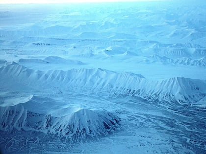
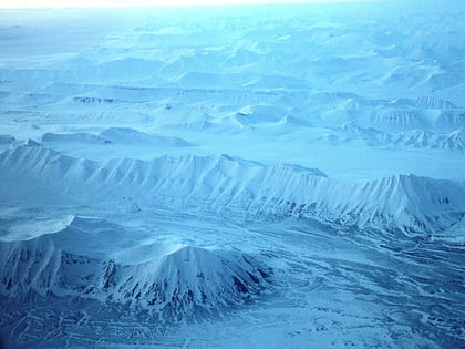
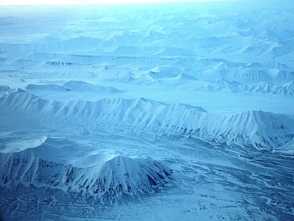
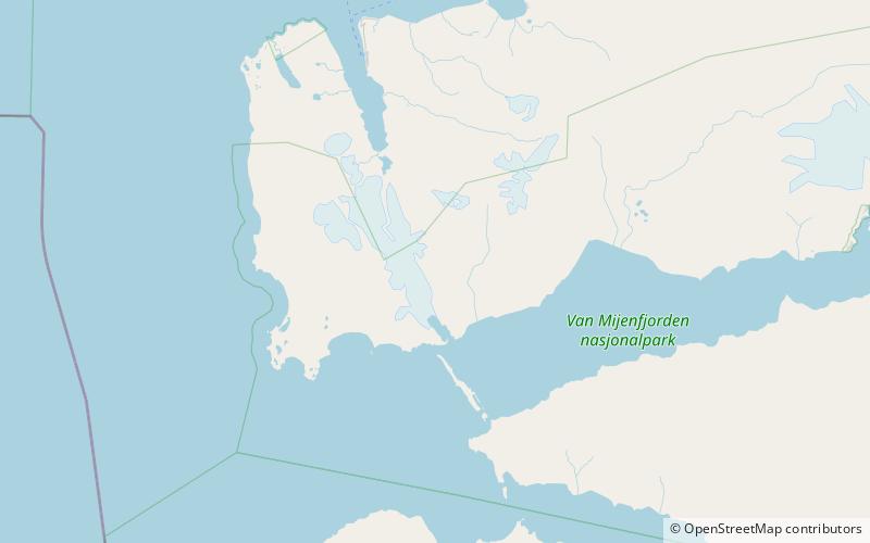
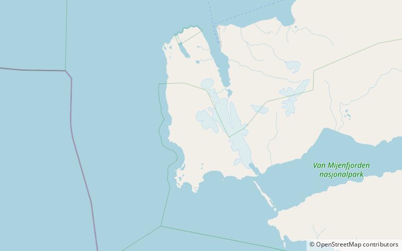
Ytterdalen is a valley in Nordenskiöld Land at Spitsbergen, Svalbard. It has a length of about nine kilometers, and is located between the mountains of Flynibba, Grånutane, Ytterdalsegga, Ytterdalssåta, Skarkampen and Salen. The river of Ytterdalselva from the glacier of Erdmannbreen flows through the valley, and further crosses Lågnesflya on its way to the bay of Van Muydenbukta. ()
Coordinates: 77°49'55"N, 14°15'7"E
Address
Nordenskiöld Land National Park
ContactAdd
Social media
Add
Day trips
Ytterdalen – popular in the area (distance from the attraction)
Nearby attractions include: Ytterdalsegga, Ingeborgfjellet, Fridtjovbreen, Sefströmkammen.
