Ulriken, Bergen
Map
Gallery
Facts and practical information
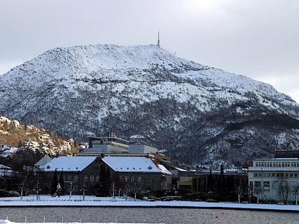
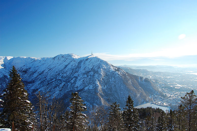
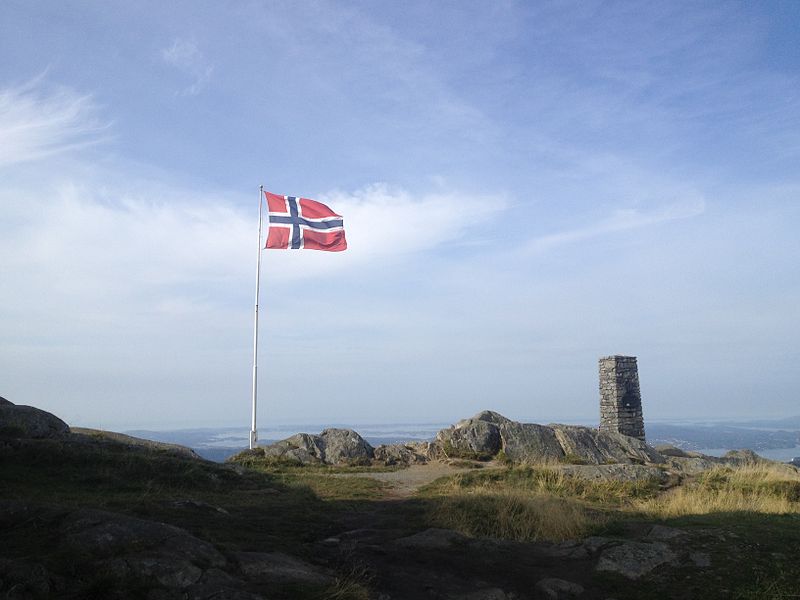
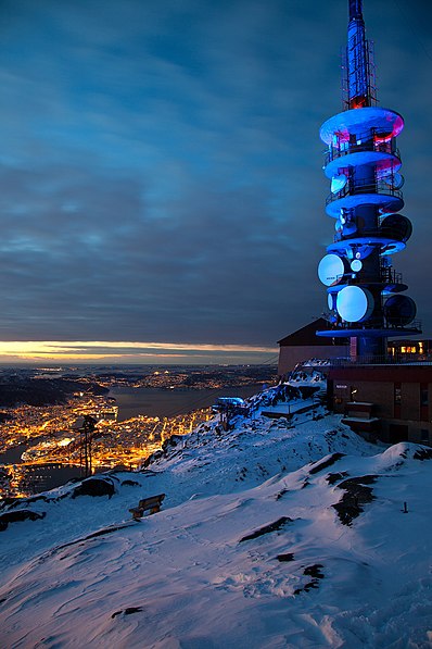
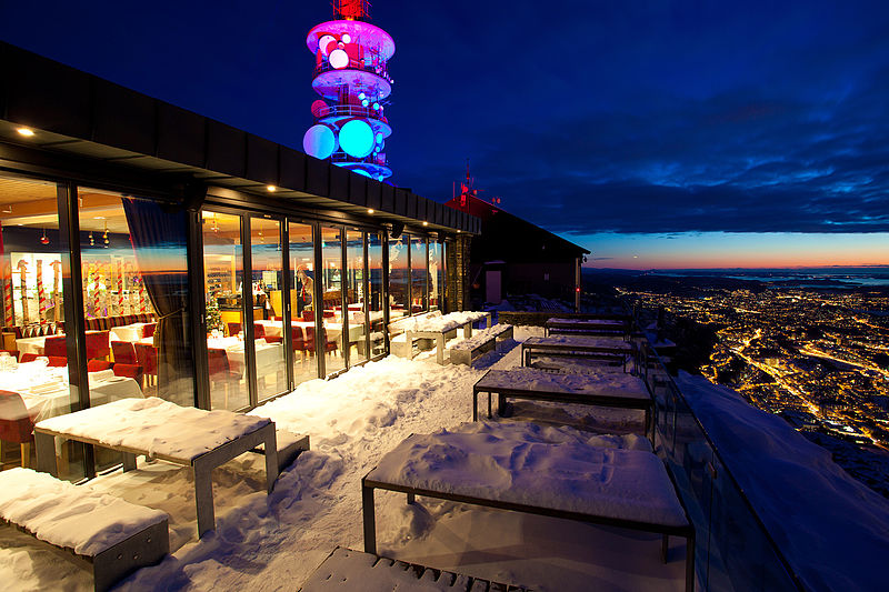
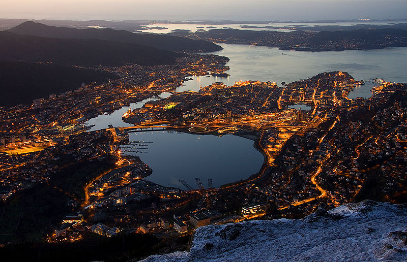
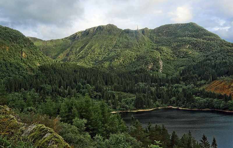
Ulriken is the highest of the Seven Mountains that surround the city of Bergen, Norway. It has a height of 643 metres above sea level. Ulriken has an aerial tramway, Ulriksbanen, that can bring people to the top. At the top there is a TV tower, a restaurant, and free telescopes. There is a network of trails along Ulriken, which is a popular hike with several paths up ranging from steep to not so steep. ()
Address
BergenhusBergen
ContactAdd
Social media
Add
Day trips
Ulriken – popular in the area (distance from the attraction)
Nearby attractions include: Bergen Storsenter, Brann Stadion, Store Lungegårdsvannet, Nygårdsparken.
Frequently Asked Questions (FAQ)
Which popular attractions are close to Ulriken?
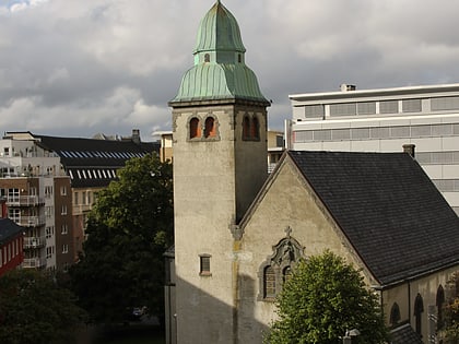
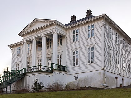
Nearby attractions include Ulriksbanen, Bergen (7 min walk), Alrekstad, Bergen (7 min walk), Svartediket, Bergen (11 min walk), Årstad Church, Bergen (12 min walk).
How to get to Ulriken by public transport?
The nearest stations to Ulriken:
Bus
Tram
Light rail
Train
Bus
- Haukeland sjukehus Nord • Lines: 21 (6 min walk)
- Svartediksveien • Lines: 11 (14 min walk)
Tram
- Kronstad • Lines: 1 (19 min walk)
- Danmarks plass • Lines: 1 (22 min walk)
Light rail
- Kronstad • Lines: 1 (19 min walk)
- Danmarks plass • Lines: 1 (22 min walk)
Train
- Bergen (36 min walk)
