Brevassfjellet, Sør-Spitsbergen National Park
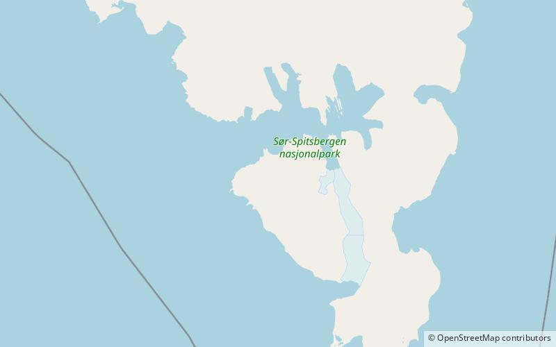
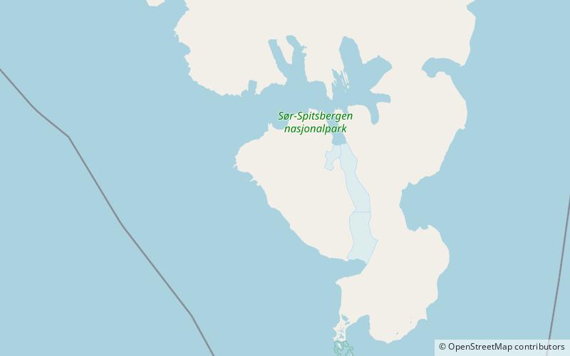
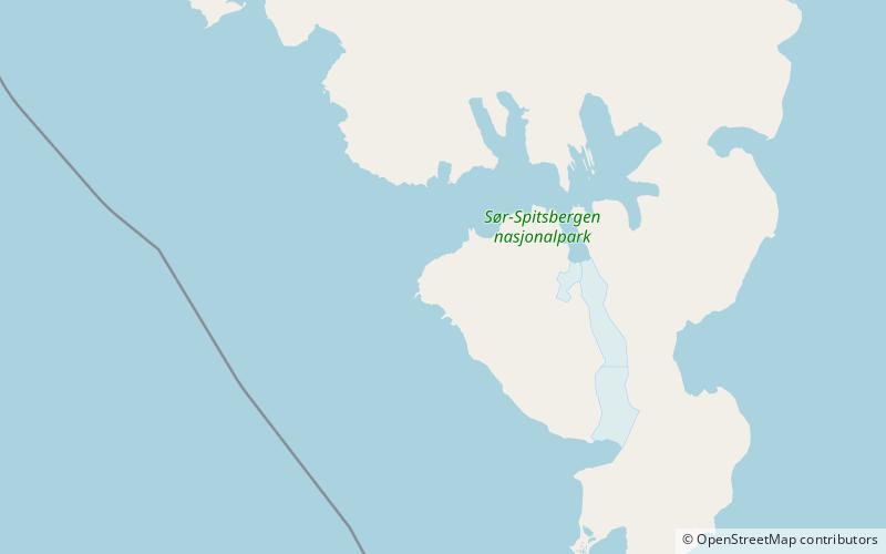
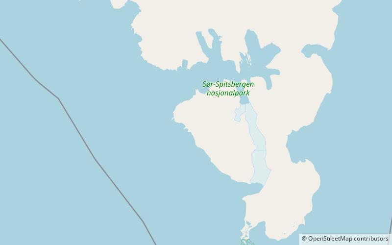
Map
Facts and practical information
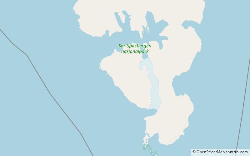
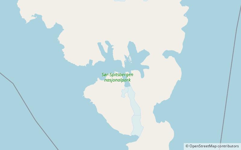
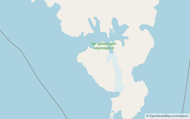
Brevassfjellet is a mountain in Sørkapp Land at Spitsbergen, Svalbard. It has a height of 589 m.a.s.l. and is located between Portbreen and Kovalevskajafjellet, south of the ice-dammed lake of Goësvatnet. To the south of the mountain is the valley of Slaklidalen. ()
Coordinates: 76°52'48"N, 15°55'26"E
Address
Sør-Spitsbergen National Park
ContactAdd
Social media
Add
Day trips
Brevassfjellet – popular in the area (distance from the attraction)
Nearby attractions include: Goësvatnet, Hornsundtind, Slaklidalen, Liddalen.
