Wiederfjellet, Sør-Spitsbergen National Park
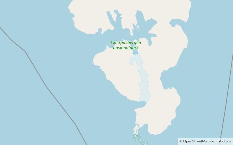
Map
Facts and practical information
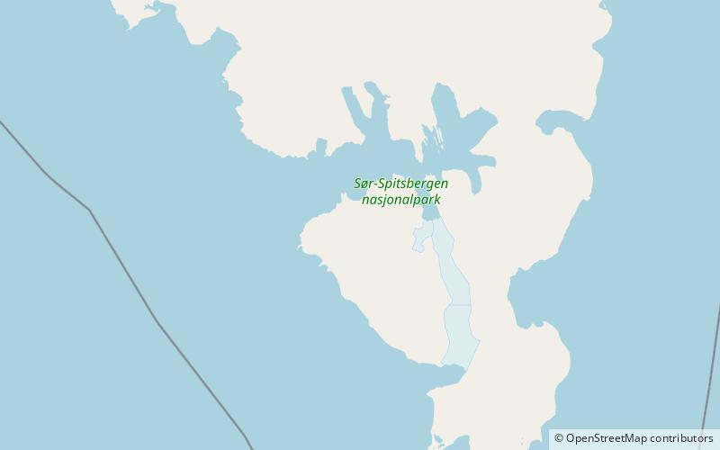
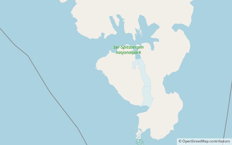
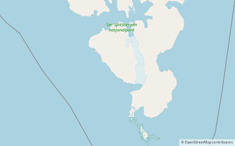
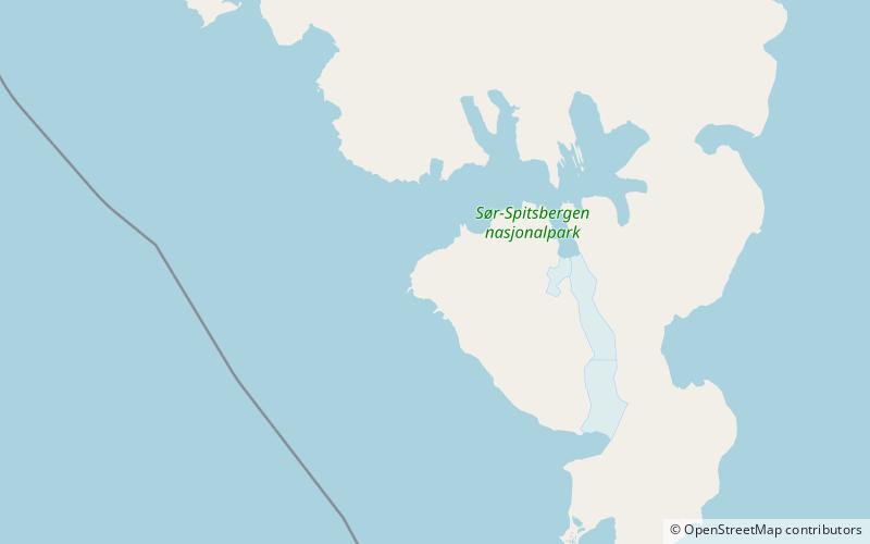
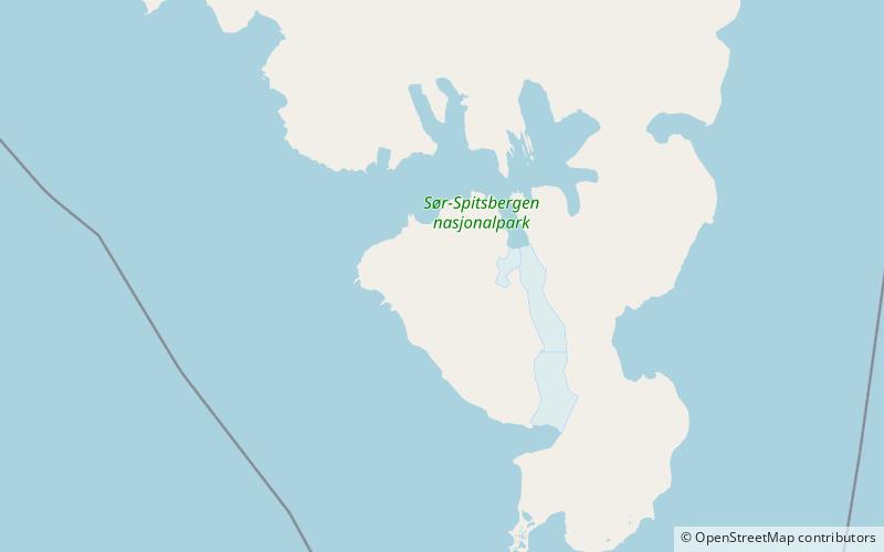
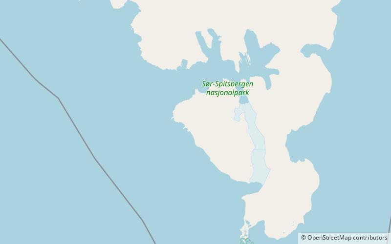
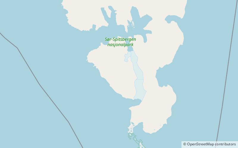
Wiederfjellet is a mountain in Sørkapp Land at Spitsbergen, Svalbard. It has an extension of about 8.5 kilometers, and is partly covered by Wiederbreen. It is located west of Bungebreen, and contains Stupryggen, the limestone precipice Kalksteinstupa and the summit Gråkallen. The mountain is named after Dutch librarian Frederik Casparus Wieder of the Leiden University Library. ()
Coordinates: 76°50'1"N, 15°56'41"E
Address
Sør-Spitsbergen National Park
ContactAdd
Social media
Add
Day trips
Wiederfjellet – popular in the area (distance from the attraction)
Nearby attractions include: Goësvatnet, Slaklidalen, Bungevatnet, Liddalen.
