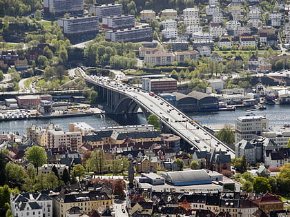
Gravdalsvatnet, Bergen
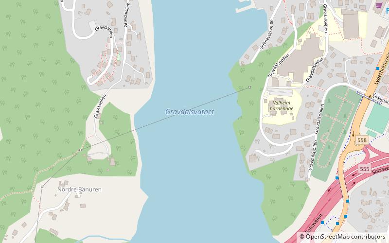
Map
Facts and practical information
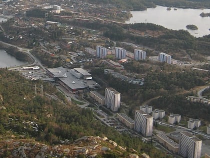
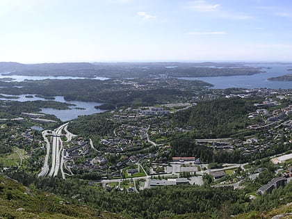
Gravdalsvatnet is a lake in the western part of Bergen Municipality in Vestland county, Norway. The 0.21-square-kilometre lake is located immediately south of the village of Gravdal in the borough of Laksevåg, west of the center of the city of Bergen. National Road 555 runs along the south shore, just west of the mountain Lyderhorn. ()
Length: 2707 ftWidth: 1230 ftElevation: 39 ft a.s.l.Coordinates: 60°22'58"N, 5°15'46"E
Address
Laksevåg (Gravdal)Bergen
ContactAdd
Social media
Add
Day trips
Gravdalsvatnet – popular in the area (distance from the attraction)
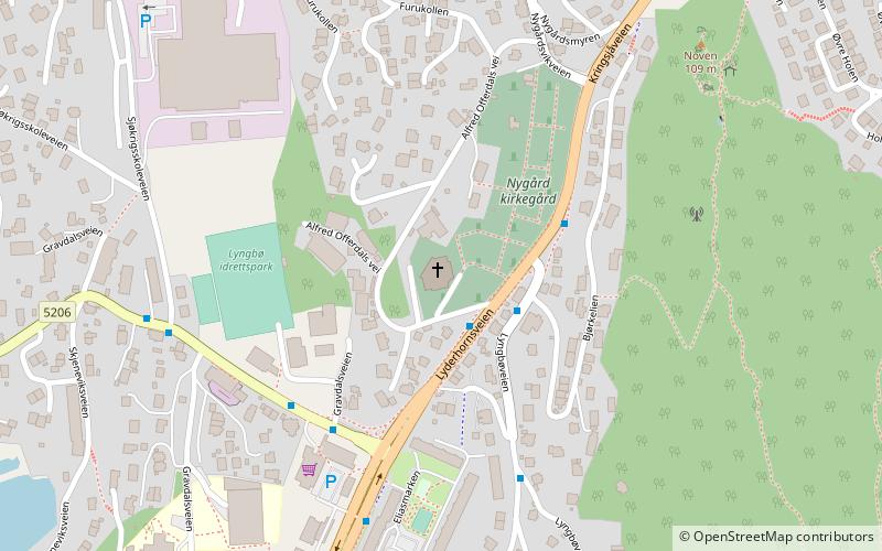
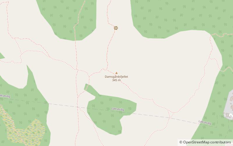
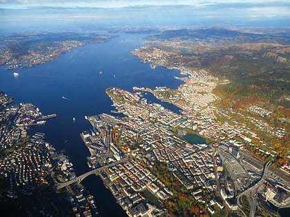
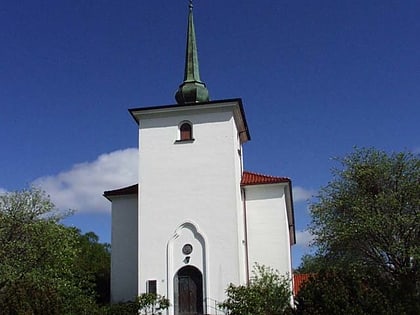
Nearby attractions include: Lyderhorn, Nygård Church, Damsgårdsfjellet, Byfjorden.
Frequently Asked Questions (FAQ)
Which popular attractions are close to Gravdalsvatnet?
Nearby attractions include Nygård Church, Bergen (13 min walk), Gravdal, Bergen (18 min walk).
How to get to Gravdalsvatnet by public transport?
The nearest stations to Gravdalsvatnet:
Bus
Bus
- Lyngbø rv. 555 • Lines: 441 Bergen busstasjon - Hjeltery, 441 Hjelteryggen - Bergen bussta, 445 Bergen busstasjon - Anglevik, 450 Bergen Busstasjon - Skogsski, 450 Skogsskiftet - Bergen Bussta, 460 Ågotnes terminal - Bergen bu, 460 Bergen busstasjon - Ågotnes (7 min walk)

