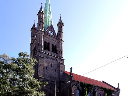
St. Clement's Church, Oslo
Map
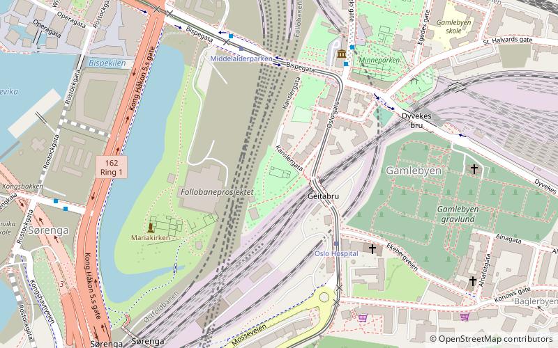
Map

Facts and practical information
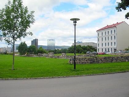
St. Clement's Church was one of the Roman Catholic parish churches of Oslo, Norway. Ruins of St. Clement's Church are now exposed and included as part of Middelalderparken in the inner city of Oslo. It was located between the former Klemetsallmenningen and Østre strede. It is south of the ruins of Oslo Kongsgård estate and St. Hallvard's Cathedral. ()
Address
Gamle Oslo (Lodalen)Oslo
ContactAdd
Social media
Add
Day trips
St. Clement's Church – popular in the area (distance from the attraction)
Nearby attractions include: Oslo Opera House, Oslo Spektrum, Munch Museum, Oslo City.
Frequently Asked Questions (FAQ)
Which popular attractions are close to St. Clement's Church?
Nearby attractions include Gamlebyen Church, Oslo (4 min walk), Middelalderparken, Oslo (4 min walk), Oslo Ladegård, Oslo (4 min walk), Minneparken, Oslo (5 min walk).
How to get to St. Clement's Church by public transport?
The nearest stations to St. Clement's Church:
Tram
Ferry
Bus
Metro
Train
Tram
- Oslo Hospital (3 min walk)
- Middelalderparken (4 min walk)
Ferry
- Munch Bjørvika • Lines: B9 (11 min walk)
- Salt brygge • Lines: B9 (17 min walk)
Bus
- Oslo Bus Terminal (15 min walk)
Metro
- Grønland (16 min walk)
- Jernbanetorget (19 min walk)
Train
- Oslo Central Station (17 min walk)
- Tøyen (33 min walk)
