Hornemantoppen, Nordvest-Spitsbergen National Park

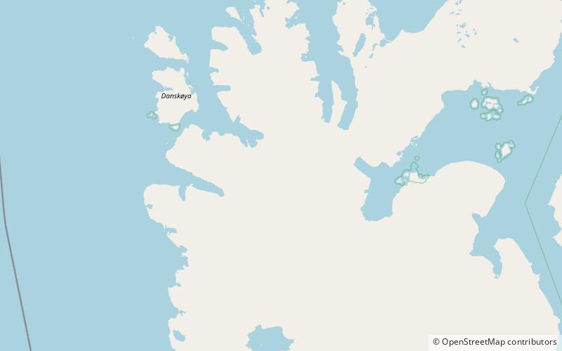
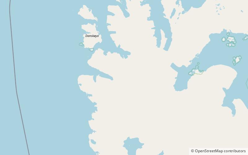
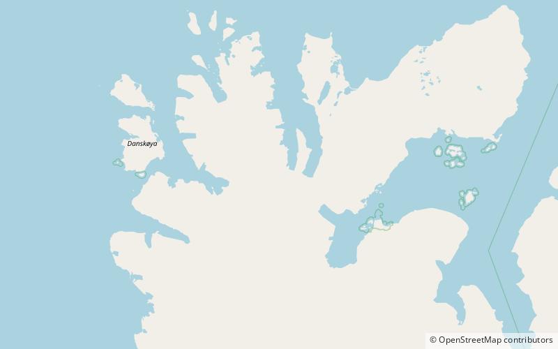
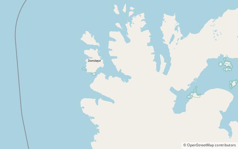
Map
Facts and practical information
Hornemantoppen is a mountain in Albert I Land at Spitsbergen, Svalbard. The mountain has a height of 1,092 m.a.s.l. and is located between Hans Henrikbreen and Smeerenburgbreen. It is named after Norwegian geologist and mining engineer Hans Henrik Horneman. Hornemantoppen is the highest mountain in Albert I Land. ()
Coordinates: 79°34'23"N, 11°43'27"E
Address
Nordvest-Spitsbergen National Park
ContactAdd
Social media
Add
Day trips
Hornemantoppen – popular in the area (distance from the attraction)
Nearby attractions include: Albert I Land, Chauveaubreen, Bjørnfjorden, Smeerenburgbreen.


