Smeerenburgbreen, Nordvest-Spitsbergen National Park

Gallery (1)
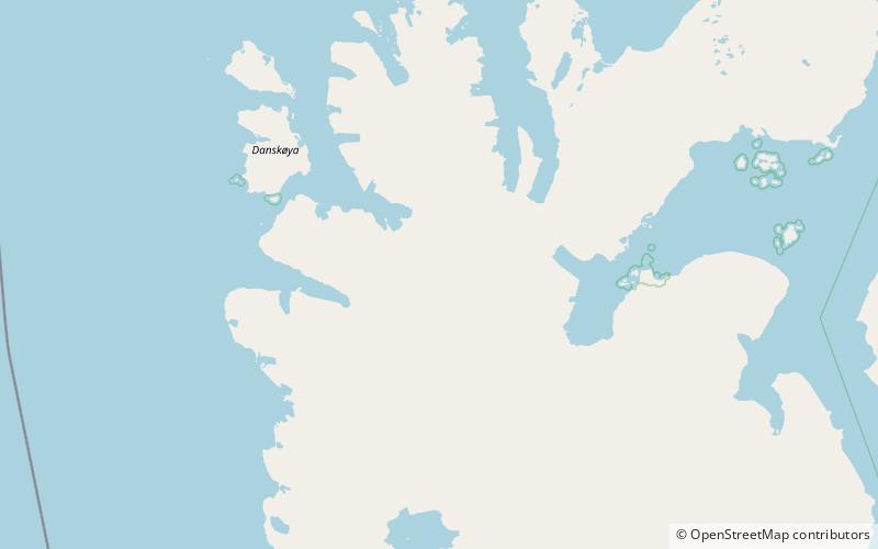
Map
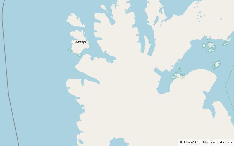
Map
Facts and practical information
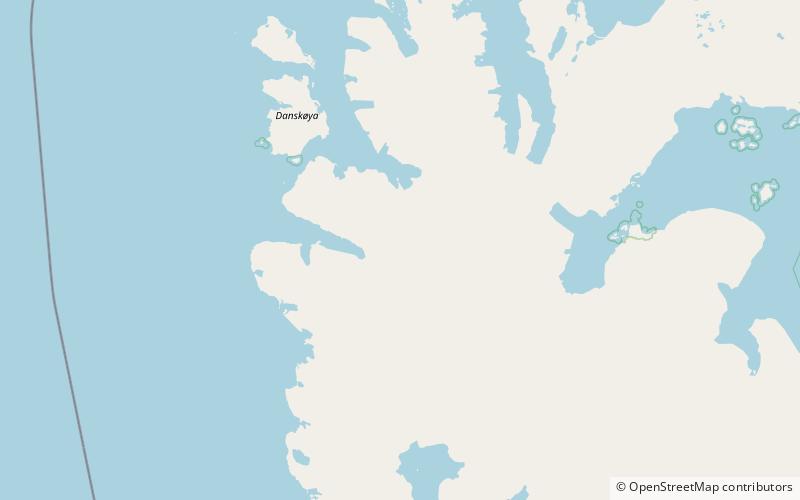
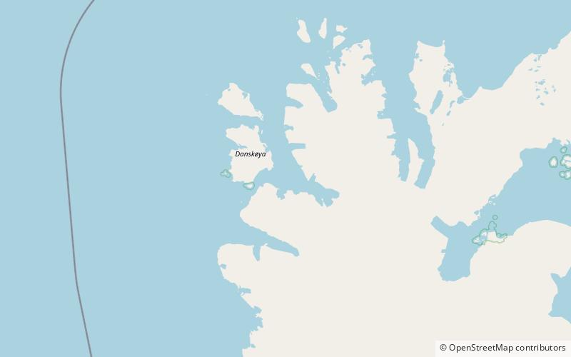
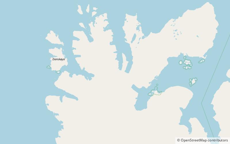
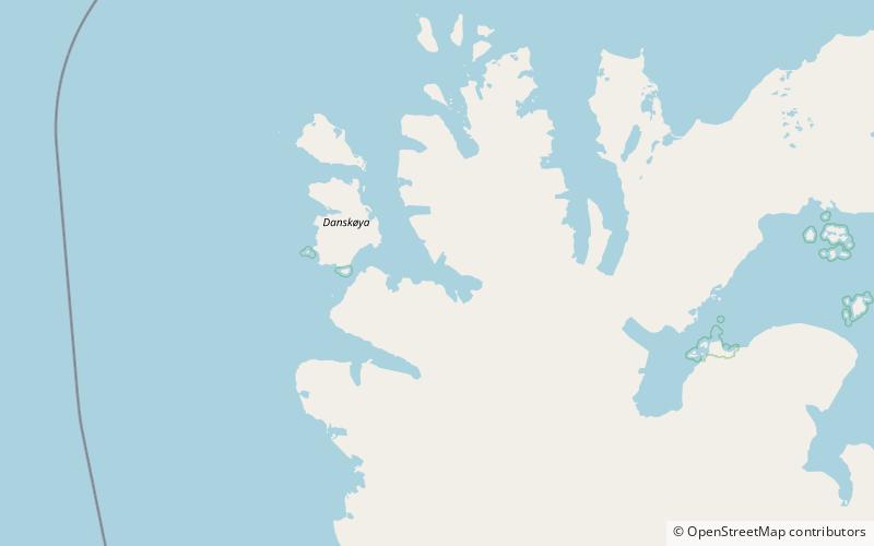
Smeerenburgbreen is a glacier in Albert I Land at Spitsbergen, Svalbard. It is located east of Reuschhalvøya. The glacier debouches into Bjørnfjorden, the inner part of Smeerenburgfjorden. Smeerenburg was the name of a Dutch whaling station from the 17th century located on Amsterdam Island. ()
Coordinates: 79°34'51"N, 11°36'1"E
Address
Nordvest-Spitsbergen National Park
ContactAdd
Social media
Add
Day trips