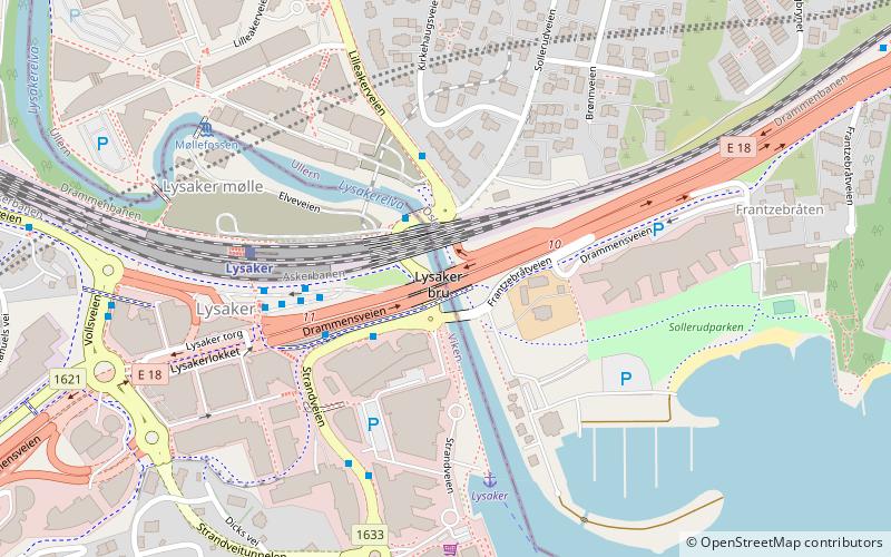
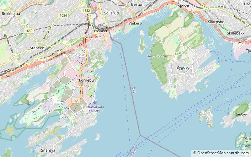
Lysaker Bridge, Bærum
Map
Facts and practical information
The Lysaker Bridge is a road bridge between Sollerud in Oslo and Lysaker in Bærum. ()
Coordinates: 59°54'48"N, 10°38'27"E
Address
Bærum
ContactAdd
Social media
Add
Getting there by public transportation
Public transportation stops near this location
- Metro
- Bus
- Tram
- Train
- Ferry
 Metro
Metro
- Calculate routeStrandveien 2 min walk
- Calculate routeTjernsmyr 15 min walk
- Calculate routeLilløyveien 16 min walk
- Calculate routeFornebuparken 22 min walk
- Calculate routeLysaker 4 min walk
- Calculate routeBjørnsletta 24 min walk
- Calculate routeÅsjordet 29 min walk
- Calculate routeJar 30 min walk
- Calculate routeLysaker 4 min walk
- Calculate routeSollerud 14 min walk
- Calculate routeLilleaker 14 min walk
- Calculate routeFurulund 15 min walk
- Calculate routeØraker 24 min walk
- Calculate routeBjørnsletta 24 min walk
- Calculate routeÅsjordet 29 min walk
- Calculate routeJar 30 min walk
Day trips


Frequently Asked Questions (FAQ)
Which popular attractions are close to Lysaker Bridge?
Nearby attractions include Granfoss Tunnel, Oslo (11 min walk), Lilleaker, Oslo (12 min walk), Polhøgda, Bærum (15 min walk), Vækerø Manor, Oslo (15 min walk).
How to get to Lysaker Bridge by public transport?
The nearest stations to Lysaker Bridge:
Bus
Train
Ferry
Tram
Metro
Bus
- Strandveien • Lines: 163, 164 (2 min walk)
- Tjernsmyr • Lines: 225 (15 min walk)
Train
- Lysaker (4 min walk)
- Bjørnsletta (24 min walk)
Ferry
- Lysaker (4 min walk)
Tram
- Sollerud (14 min walk)
- Lilleaker (14 min walk)
Metro
- Bjørnsletta (24 min walk)
- Åsjordet (29 min walk)