Andøen Gård, Kristiansand

Gallery (1)
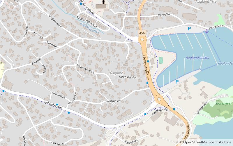
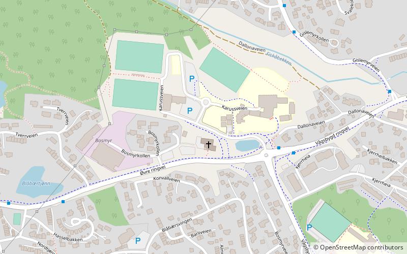
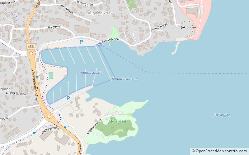
Map

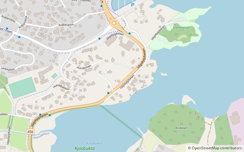
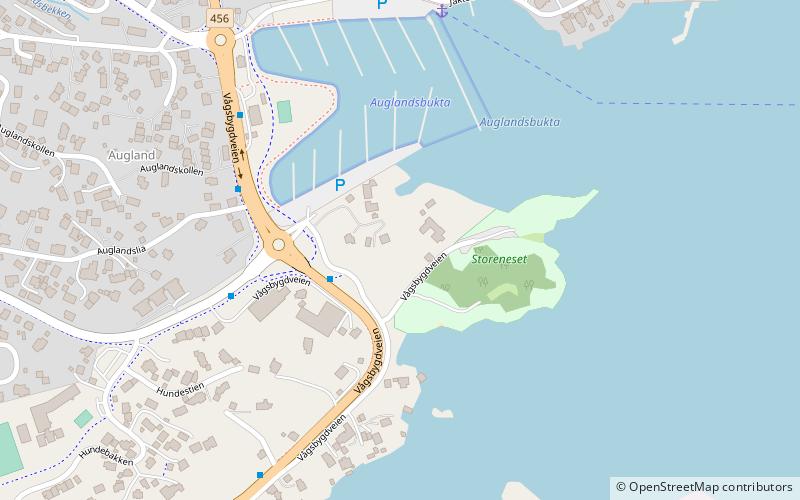
Map
Facts and practical information
Andøen Gård is a place located in Kristiansand (Vest-Agder county) and belongs to the category of sightseeing.
It is situated at an altitude of 39 feet, and its geographical coordinates are 58°6'42"N latitude and 7°58'47"E longitude.
Among other places and attractions worth visiting in the area are: Andøya (island, 4 min walk), Løvika (neighbourhood, 7 min walk), Bragdøya (island, 16 min walk).
Coordinates: 58°6'42"N, 7°58'47"E
Day trips


Frequently Asked Questions (FAQ)
Which popular attractions are close to Andøen Gård?
Nearby attractions include Andøya, Kristiansand (4 min walk), Løvika, Kristiansand (7 min walk), Bragdøya, Kristiansand (16 min walk), Auglandsbukta, Kristiansand (20 min walk).