Trek Zone

Terøya, Haram

#1 among attractions in Haram

Island
Terøya

Facts and practical information
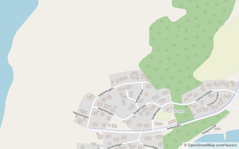
Area: 0.39 mi²Maximum elevation: 486 ftCoordinates: 62°33'13"N, 6°15'13"E
Address

Haram Norway

ContactAdd
Social media
Add

Haram plan & book

Unleash the traveler in you — discover the cheapest flight deals, find the perfect hotel or hostel nearby, and search for the best car rental prices. Travel at your own pace to discover new places and enjoy your journey.

Day trips

Terøya – popular in the area (distance from the attraction)

Nearby attractions include: Valderøy Church, Giske Wetlands System, Ellingsøy Church, Nørvøya.

  • valderoy church5.3 miSW
  • giske wetlands system vigra island location map
    4.9 miW
  • ellingsoy church alesund4.3 miS
  • norvoya alesund5.8 miS
  • ellingsoy4.8 miSW
  • haram church haramsoya5.3 miN
  • rorvikvatnet nature reserve vigra island location map
    4.4 miW
  • roaldsand wildlife sanctuary vigra island location map
    4.2 miW
  • ellingsoy tunnel alesund location map
    5.2 miSW
  • vigra fixed link alesund5.1 miSW
  • valderoy tunnel alesund location map
    5.2 miSW

Where to next? Visit more og romsdal Møre og Romsdal region page or discover the top tourist attractions in Norway.