Geitanger

Gallery (1)
Map
Map
Facts and practical information
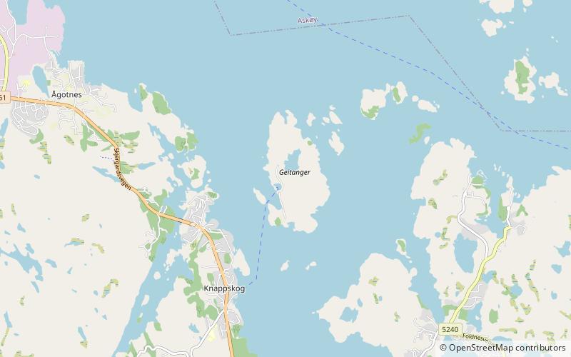
Geitanger or Geitung is an island in Øygarden Municipality in Vestland county, Norway. The 0.9-square-kilometre island is entirely car-free, and the population of the island is very low. ()
Alternative names: Area: 222.39 acres (0.3475 mi²)Maximum elevation: 207 ftCoordinates: 60°23'41"N, 5°4'14"E
Location
Hordaland
ContactAdd
Social media
Add
Day trips