Sotra Bridge, Bergen
Map
Gallery
Facts and practical information
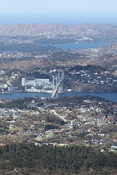
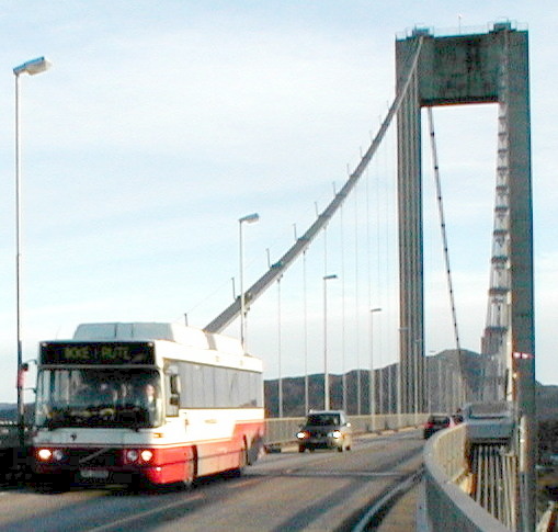
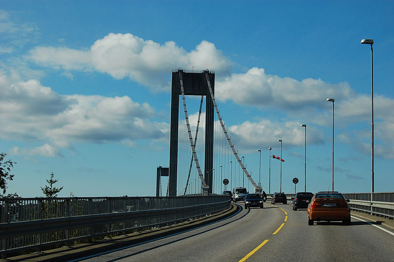
The Sotra Bridge is a suspension bridge which crosses Knarreviksundet between Knarrevik in Øygarden Municipality and Drotningsvik on the mainland of Bergen Municipality in Vestland county, Norway. It carries two road lanes and two narrow pedestrian paths of National Road 555, providing a fixed link for the archipelago of Sotra. The bridge is 1,236 metres long, has a main span of 468 metres and a clearance of 50 metres. In 2007, it had an average 25,494 vehicles per day. ()
Local name: Sotrabrua Opened: 11 December 1971 (54 years ago)Length: 4055 ftCoordinates: 60°22'21"N, 5°9'57"E
Address
Bergen
ContactAdd
Social media
Add
Day trips
Sotra Bridge – popular in the area (distance from the attraction)
Nearby attractions include: Askøy Bridge, Lyderhorn, Vannkanten, Alvøen.
Frequently Asked Questions (FAQ)
How to get to Sotra Bridge by public transport?
The nearest stations to Sotra Bridge:
Bus
Bus
- Knarrevik rv. 555 • Lines: 441 Bergen busstasjon - Hjeltery, 441 Hjelteryggen - Bergen bussta, 442 Ebbesvik - Knarrevik RV.555, 442 Knarrevik RV.555 - Ebbesvik, 445 Bergen busstasjon - Anglevik, 450 Bergen Busstasjon - Skogsski, 450 Skogsskiftet - Bergen Bussta, 460 Ågotnes terminal - Bergen bu, 460 Bergen busstasjon - Ågotnes (12 min walk)
- Hjelteryggen Svenesvegen • Lines: 441 Bergen busstasjon - Hjeltery, 441 Hjelteryggen - Bergen bussta (13 min walk)


