Sandhornøy Bridge
Map

Map

Facts and practical information
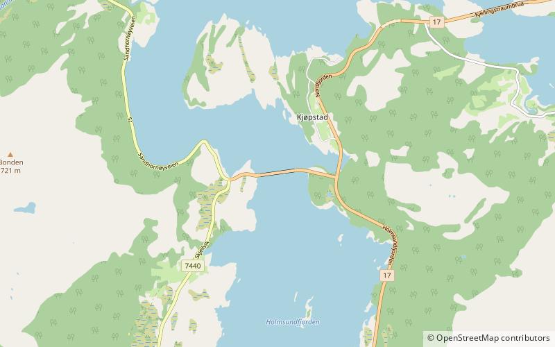
The Sandhornøy Bridge is a cantilever bridge that crosses the Tverrsundet strait between the mainland and the island of Sandhornøya in the municipality of Gildeskål in Nordland county, Norway. The bridge is 374 metres long and the longest of the 3 spans is 154 metres. The Sandhornøy Bridge was opened in 1989 as an arm off of Norwegian County Road 17. The bridge is a single-cell prestressed concrete box girder bridge that was built using the balanced cantilever method. ()
Local name: Sandhornøy bru Opened: 1989 (37 years ago)Length: 1227 ftCoordinates: 67°3'45"N, 14°14'52"E
Location
Nordland
ContactAdd
Social media
Add
Day trips
Sandhornøy Bridge – popular in the area (distance from the attraction)
Nearby attractions include: Old Gildeskål Church, Gildeskål Church, Saura Church, Sandhornøya.


