Danzigdalen
Map
Facts and practical information
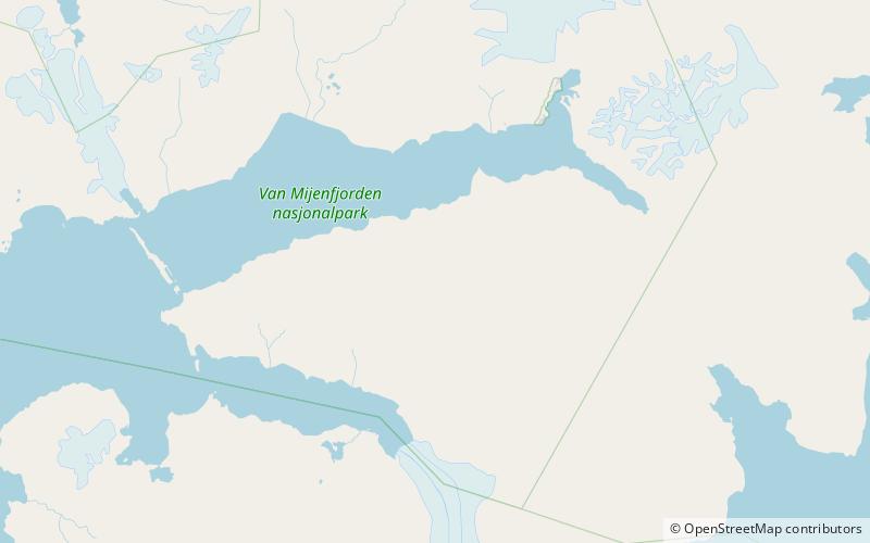
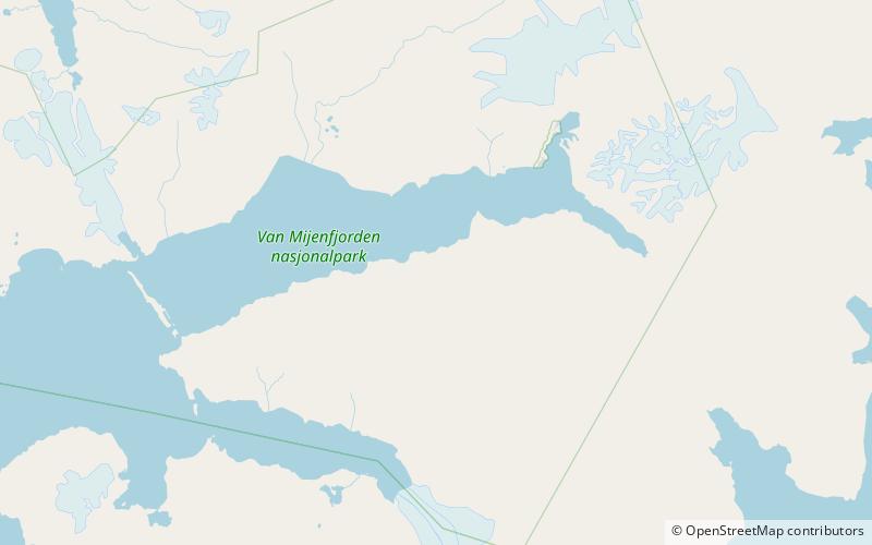
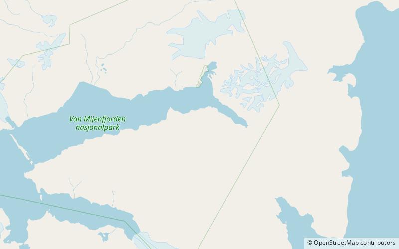
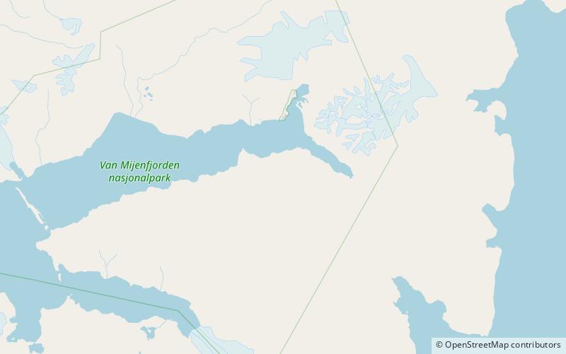
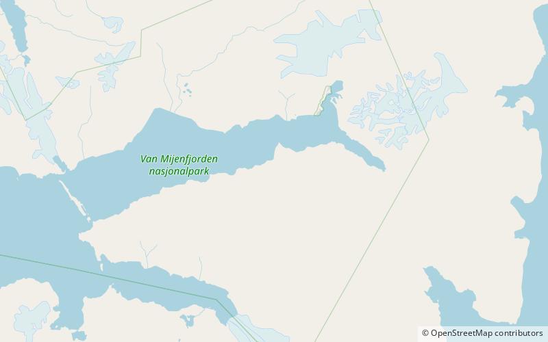
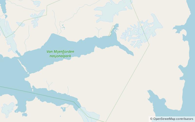
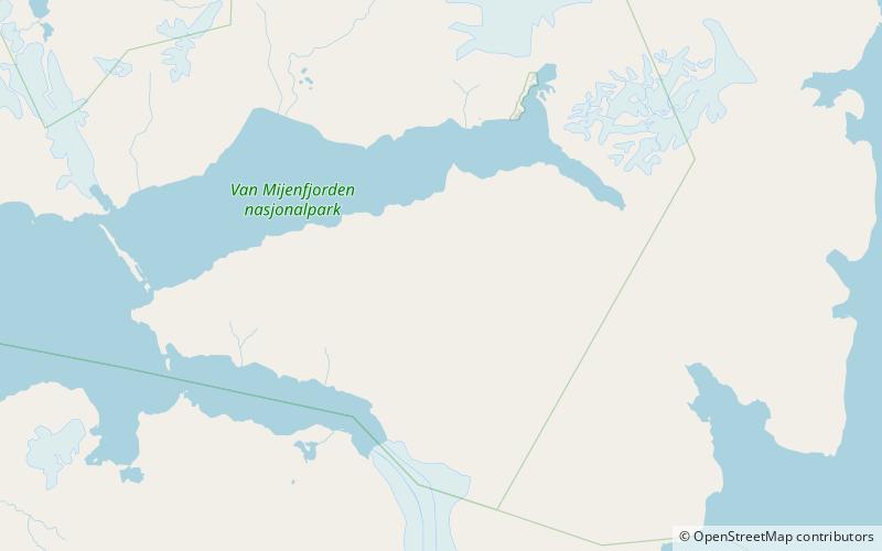
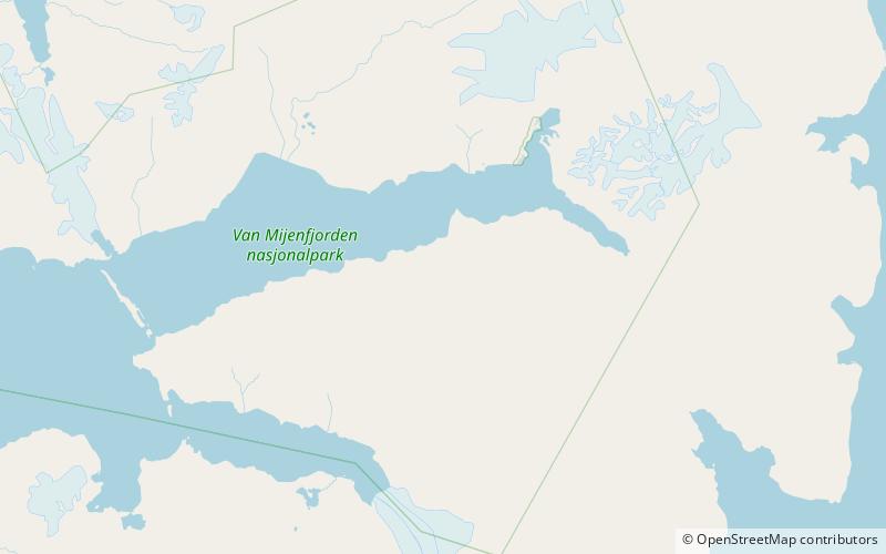
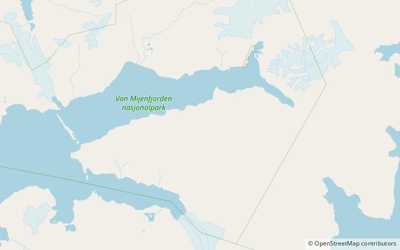
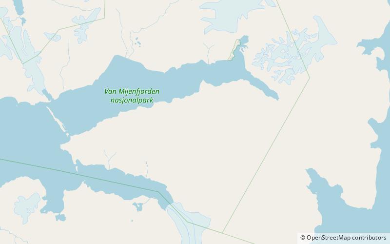
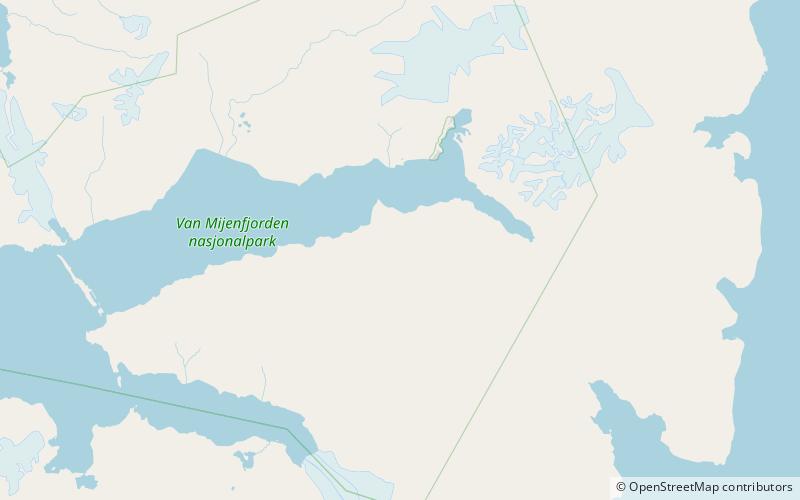
Danzigdalen is a valley in Nathorst Land at Spitsbergen, Svalbard. It is located south of Van Mijenfjorden, extending northwards from Svalbreen to Danzigøyra, with a total length of about 11.5 kilometers. At the western side of the valley are the mountains of Lundgrenfjellet and Vengefjellet, and to the east are Fagerstafjella. ()
Coordinates: 77°45'9"N, 16°26'59"E
Location
Svalbard
ContactAdd
Social media
Add
Day trips
Danzigdalen – popular in the area (distance from the attraction)
Nearby attractions include: Bassøefjellet, Langlidalen, Aspelintoppen, Fagerstafjella.
