Fagerstafjella
Map
Facts and practical information
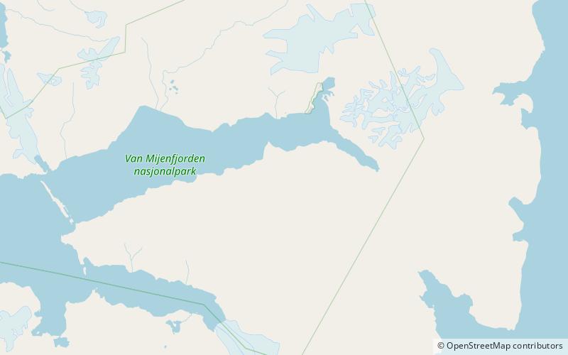
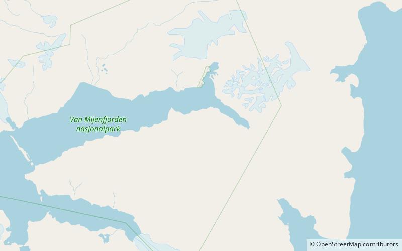
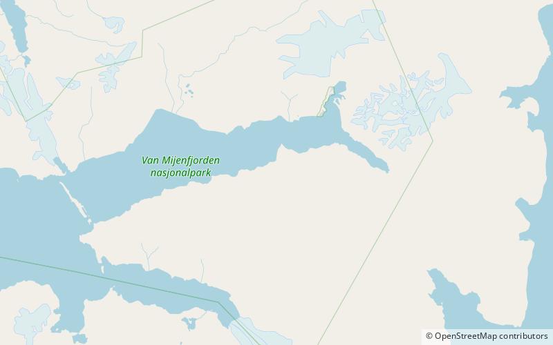
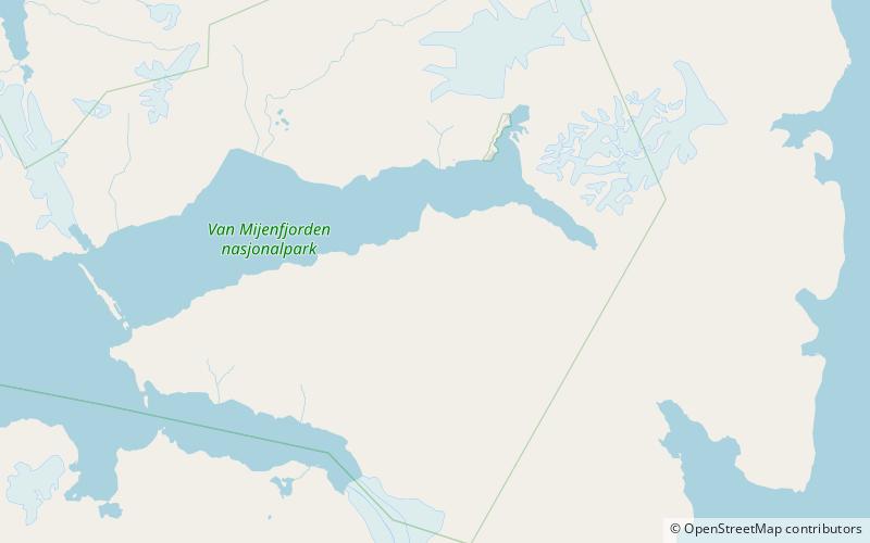
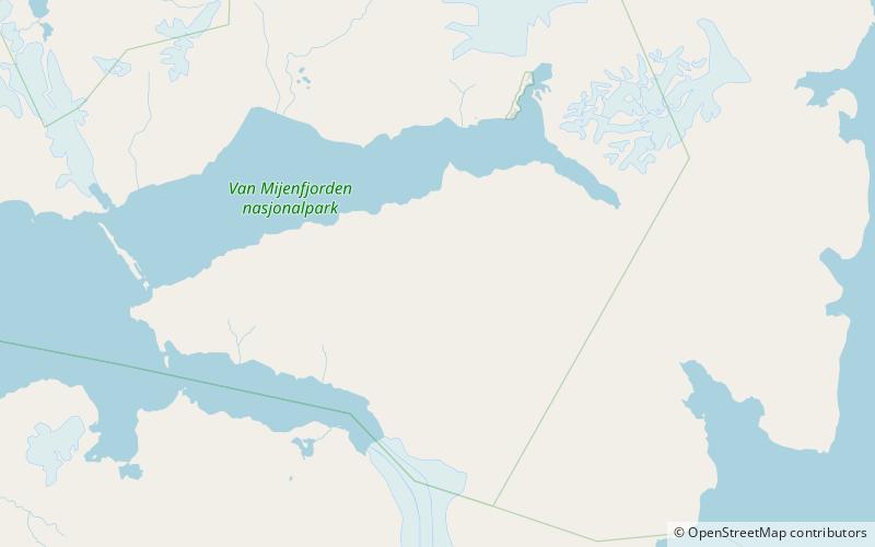
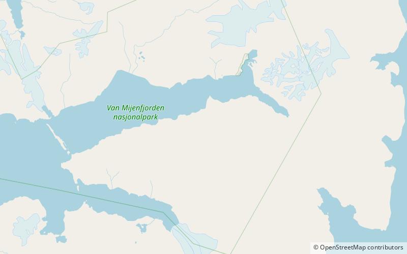
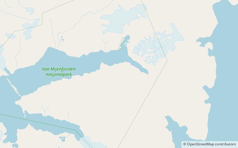
Fagerstafjella is a mountain group in Nathorst Land at Spitsbergen, Svalbard. The group is located south of Van Mijenfjorden, between Scheelebreen and Danzigdalen. The highest mountain in the group is Aspelintoppen, which is also the highest mountain in Nathorst Land. ()
Coordinates: 77°45'52"N, 16°38'37"E
Location
Svalbard
ContactAdd
Social media
Add
Day trips
Fagerstafjella – popular in the area (distance from the attraction)
Nearby attractions include: Danzigdalen, Aspelintoppen, Lundgrenfjellet, Vengefjellet.
