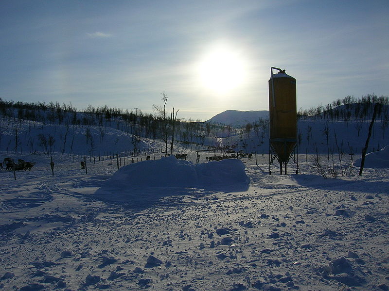
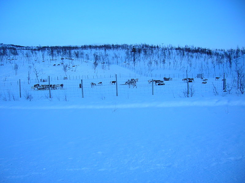
Raudvatnet
Map
Gallery
Facts and practical information
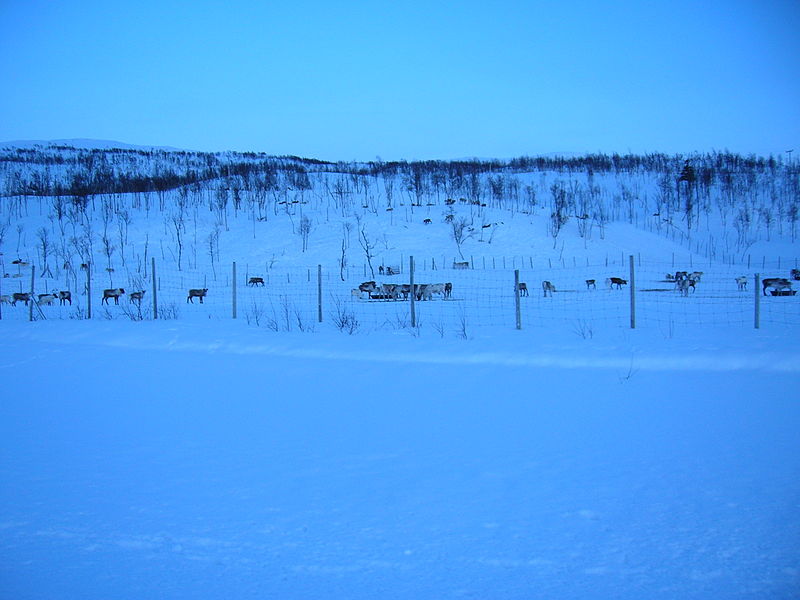
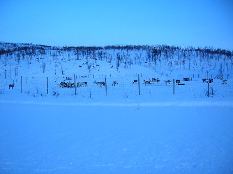
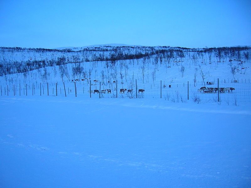
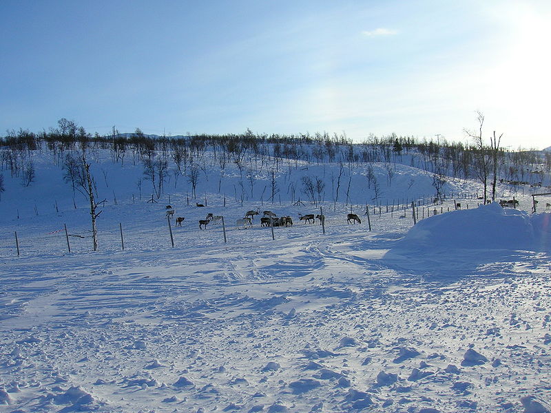
Raudvatnet is a lake in the municipality of Rana in Nordland county, Norway. The European route E12 highway passes along the northern and eastern shores of the lake between the town of Mo i Rana and the border with Sweden. A Red cross hut is located east of the lake Raudvatnet. Water flows into the lake Raudvatnet primarily from the nearby lake Tverrvatnet to the south. From Raudvatnet, the water flows into the river Tverråga, a tributary to the main river Ranelva. ()
Alternative names: Length: 9843 ftWidth: 8202 ftElevation: 1601 ft a.s.l.Coordinates: 66°16'42"N, 14°31'0"E
Location
Nordland
ContactAdd
Social media
Add
Day trips
Raudvatnet – popular in the area (distance from the attraction)
Nearby attractions include: Røssvoll Church, Tverrvatnet.


