Storakersvatnet

Map
Facts and practical information
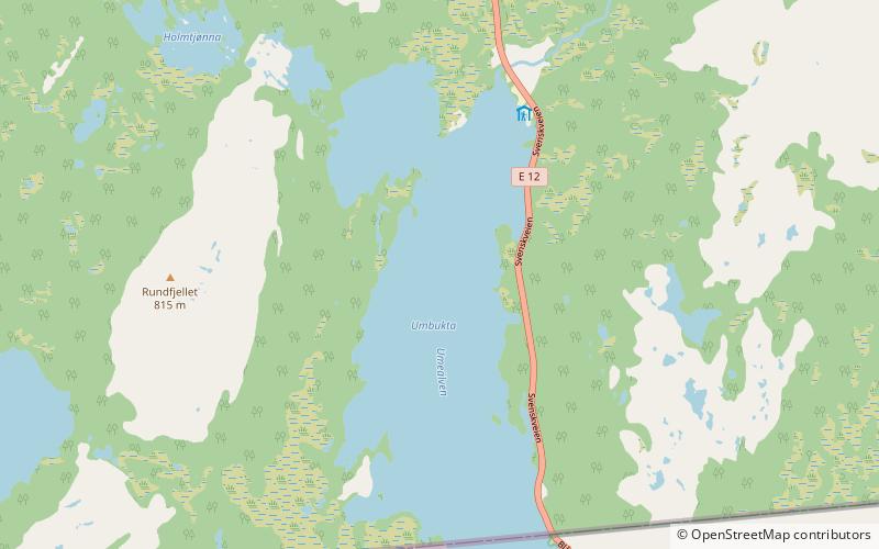
Storakersvatnet or Akersvatnet is a lake in the municipality of Rana in Nordland county, Norway. The lake lies about 15 kilometres south of the town of Mo i Rana and less than 900 metres from the border with Sweden. The original lake was only 15.9 square kilometres, but a dam was built at the northern end so that it can serve as a reservoir for the Rana power station. This dam has caused the lake to enlarge to an area of 42.3 square kilometres. ()
Alternative names: Area: 16.31 mi²Length: 6.84 miWidth: 4.35 miElevation: 1581 ft a.s.l.Coordinates: 66°9'48"N, 14°23'46"E
Location
Nordland
ContactAdd
Social media
Add
Day trips
Storakersvatnet – popular in the area (distance from the attraction)
Nearby attractions include: Tverrvatnet, Överuman.

