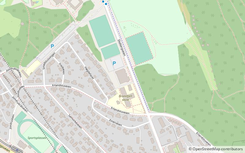
Bekkelaget, Oslo
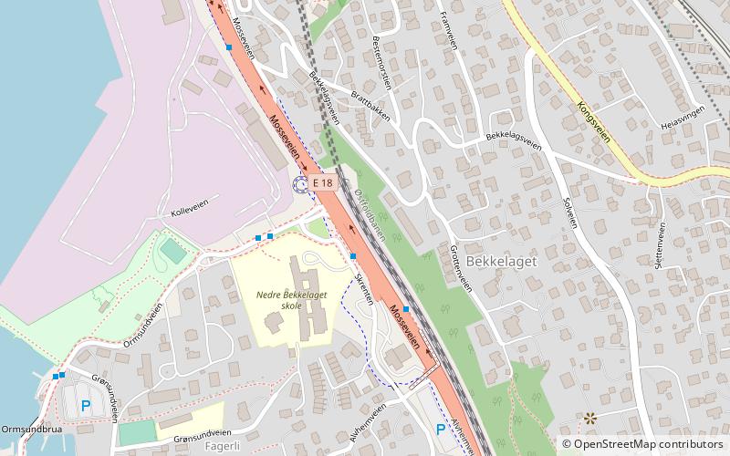
Map
Facts and practical information
Address
Nordstrand (Bekkelaget)Oslo
ContactAdd
Social media
Add
Getting there by public transportation
Public transportation stops near this location
- Metro
- Tram
- Ferry
 Metro
Metro
- Calculate routeSportsplassen 8 min walk
- Calculate routeHoltet 10 min walk
- Calculate routeJomfrubråten 12 min walk
- Calculate routeSørli 18 min walk
- Calculate routeBrattlikollen 28 min walk
- Calculate routeKarlsrud 29 min walk
- Calculate routeRyen 38 min walk
- Calculate routeMalmøykalven 37 min walk
Day trips


Frequently Asked Questions (FAQ)
Which popular attractions are close to Bekkelaget?
Nearby attractions include Bekkelaget Tunnel, Oslo (6 min walk), Jomfrubråten, Oslo (6 min walk), Ormøy Church, Oslo (13 min walk), Ormøya, Oslo (14 min walk).
How to get to Bekkelaget by public transport?
The nearest stations to Bekkelaget:
Tram
Metro
Ferry
Tram
- Sportsplassen (8 min walk)
- Holtet (10 min walk)
Metro
- Brattlikollen (28 min walk)
- Karlsrud (29 min walk)
Ferry
- Malmøykalven (37 min walk)