Vålerenga, Oslo
Map
Map

Facts and practical information
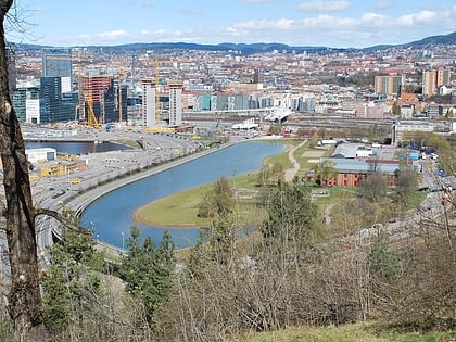
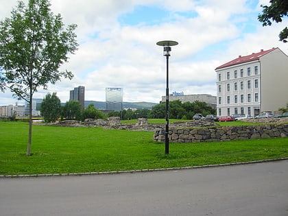
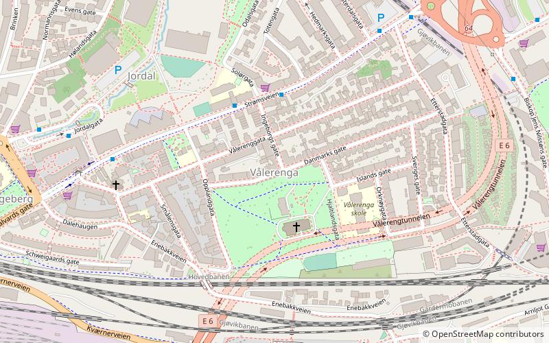
Vålerenga is a neighbourhood in the city of Oslo, Norway, belonging to the borough of Gamle Oslo. Vålerenga is located between the neighbourhoods of Gamlebyen, Jordal, Ensjø, Etterstad and Lodalen. Vålerenga is in particular known for its traditional, small wooden houses, and for its football and ice hockey-teams: Vålerenga IF Fotball and Vålerenga Ishockey. ()
Address
Gamle Oslo (Vålerenga)Oslo
ContactAdd
Social media
Add
Day trips
Vålerenga – popular in the area (distance from the attraction)
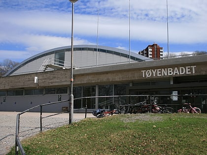
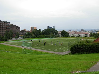
Nearby attractions include: University Botanical Garden, Tøyenbadet, Nye Jordal Amfi, Middelalderparken.
Frequently Asked Questions (FAQ)
Which popular attractions are close to Vålerenga?
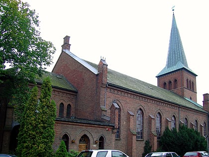
Nearby attractions include Vålerenga kirke, Oslo (2 min walk), Jordal, Oslo (5 min walk), Romerike Tunnel, Oslo (8 min walk), Galgeberg, Oslo (8 min walk).
How to get to Vålerenga by public transport?
The nearest stations to Vålerenga:
Metro
Bus
Tram
Train
Ferry
Metro
- Ensjø (11 min walk)
- Helsfyr (16 min walk)
Bus
- Helsfyr T (15 min walk)
- Oslo Bus Terminal (27 min walk)
Tram
- Oslo Hospital (20 min walk)
- Middelalderparken (21 min walk)
Train
- Tøyen (25 min walk)
- Bryn (28 min walk)
Ferry
- Munch Bjørvika • Lines: B9 (30 min walk)


