Auglandskollen, Kristiansand
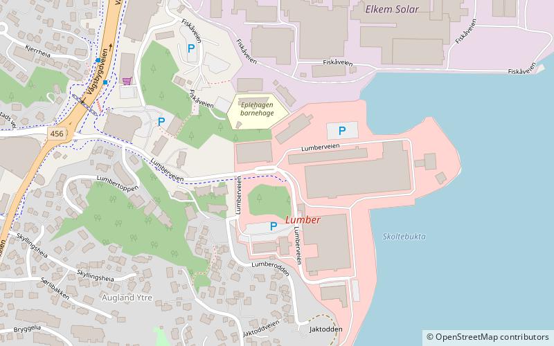
Map
Facts and practical information
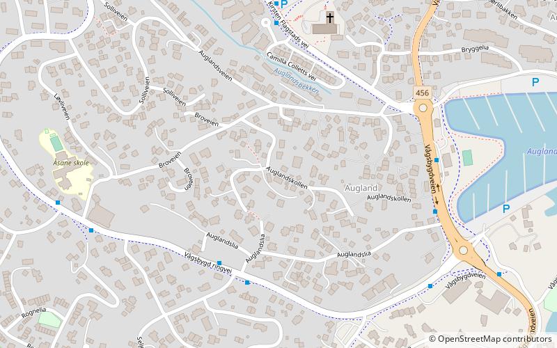
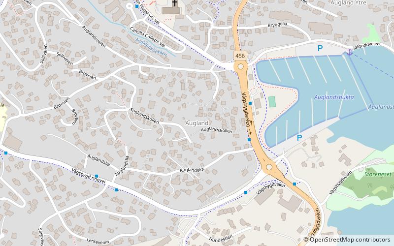
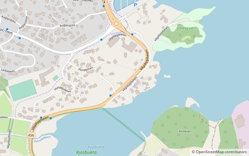
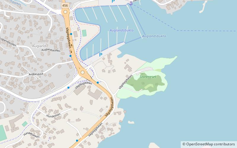
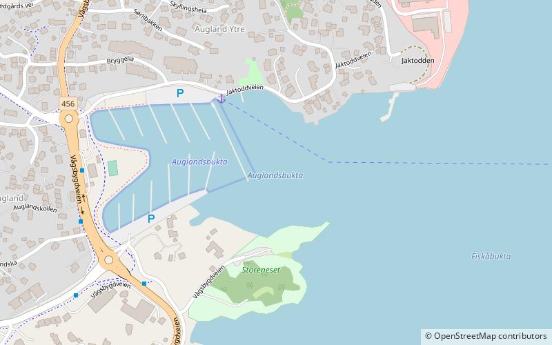
Auglandskollen is a neighbourhood in the city of Kristiansand in Agder county, Norway. The neighborhood is located in the borough of Vågsbygd and in the district of Vågsbygd. Auglandskollen is north of Kjosneset, south of Augland, east of Kjos Haveby, and west of Auglandsbukta. ()
Coordinates: 58°7'11"N, 7°57'15"E
Address
Kristiansand
ContactAdd
Social media
Add
Getting there by public transportation
Public transportation stops near this location
- Bus
 Bus
Bus
- Calculate routeSlettheiveien/Trekanten 19 min walk
- Calculate routeMåltrostveien 22 min walk
- Calculate routeBlørstad 23 min walk
- Calculate routeSvaleveien 23 min walk
Day trips


Frequently Asked Questions (FAQ)
Which popular attractions are close to Auglandskollen?
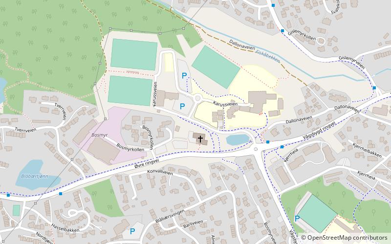
Nearby attractions include Augland, Kristiansand (3 min walk), Auglandslia, Kristiansand (3 min walk), Vågsbygd kirke, Kristiansand (5 min walk), Storenes, Kristiansand (9 min walk).
How to get to Auglandskollen by public transport?
The nearest stations to Auglandskollen:
Bus
Bus
- Slettheiveien/Trekanten • Lines: 3 (19 min walk)
- Måltrostveien • Lines: 3 (22 min walk)