Remøy Bridge, Remøya

Gallery (1)
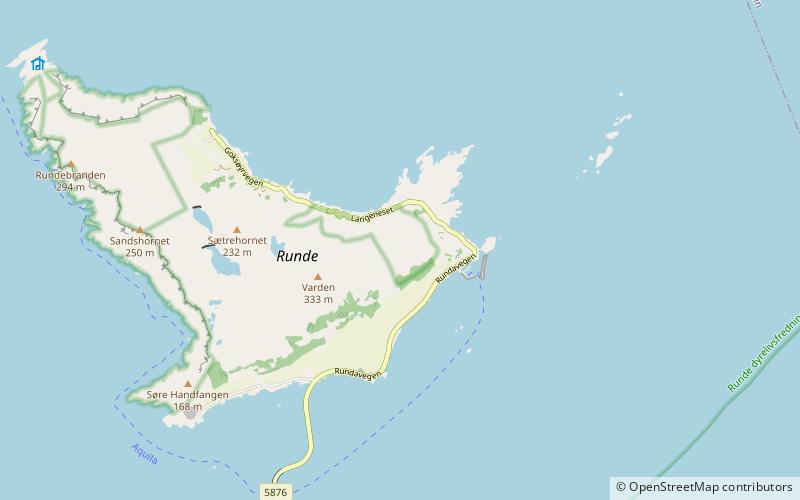
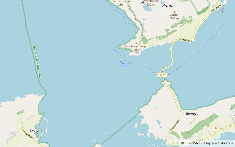
Map
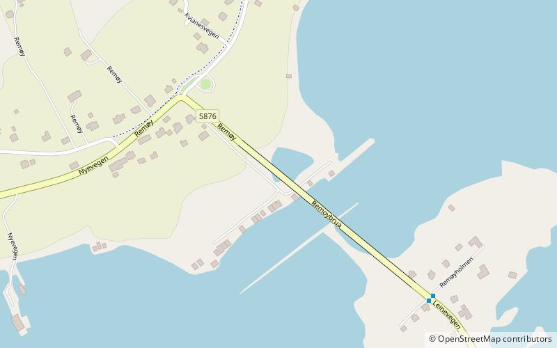
Map
Facts and practical information
The Remøy Bridge is a bridge from connecting the islands of Leinøya and Remøya in the municipality of Herøy in Møre og Romsdal county, Norway. The bridge carries the county highway 18 over the Nordre Vaulen strait. ()
Address
Remøya
ContactAdd
Social media
Add
Day trips