Nerlandsøy Bridge

Gallery (1)
Map
Map
Facts and practical information
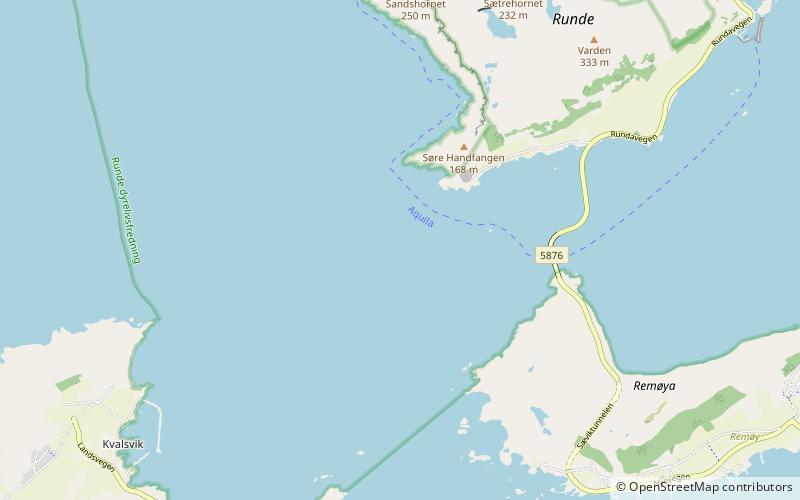
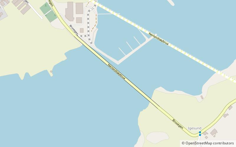
The Nerlandsøy Bridge is a bridge that crosses the Søre Vaulen strait between the islands of Bergsøya and Nerlandsøya in the municipality of Herøy in Møre og Romsdal county, Norway. ()
Local name: Nerlandsøybrua Opened: 25 September 1968 (57 years ago)Length: 1329 ftCoordinates: 62°20'24"N, 5°36'23"E
Location
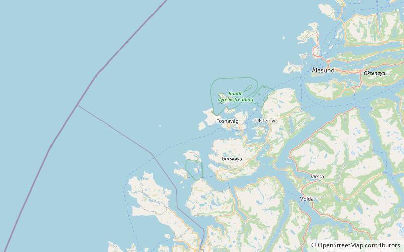
Møre og Romsdal
ContactAdd
Social media
Add
Day trips