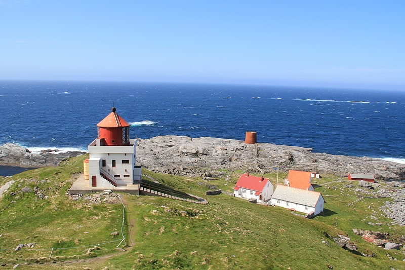
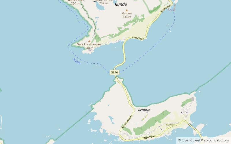
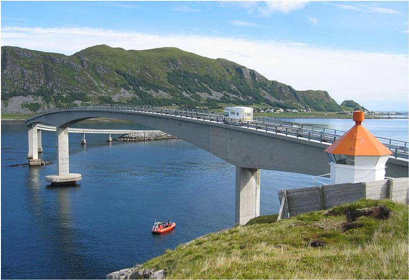
Runde Bridge

Gallery (2)
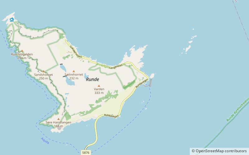
Map
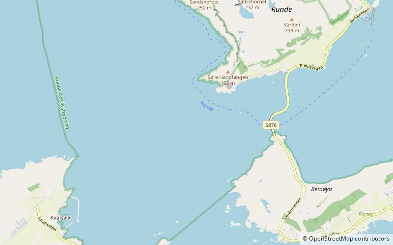
Map
Gallery
Facts and practical information
The Runde Bridge is a cantilever bridge that crosses the Rundasundet between the islands Remøya and Runde in the municipality of Herøy in Møre og Romsdal county, Norway. ()
Local name: Rundebrua Opened: 3 March 1982 (44 years ago)Length: 1404 ftCoordinates: 62°22'47"N, 5°37'40"E
Location
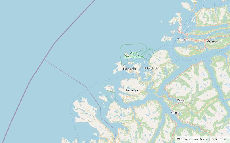
Møre og Romsdal
ContactAdd
Social media
Add
Day trips