Skorpa
Map
Facts and practical information
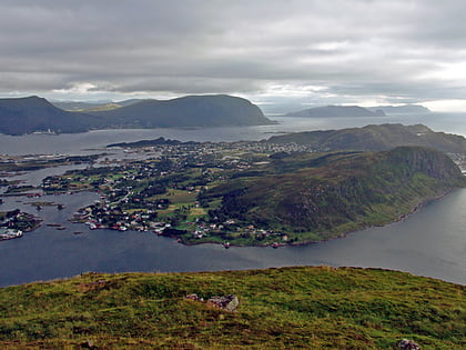
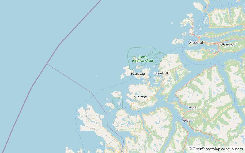
Skorpa is an uninhabited island in the municipality of Herøy in Møre og Romsdal county Norway. Skorpa lies directly west of the island of Nerlandsøya, across the Skorpesund, about 6 kilometres west of the town of Fosnavåg. The island of Gurskøya lies 5 kilometres to the southeast, across the Herøyfjorden. The Svinøy lighthouse is located 11 kilometres to the east. ()
Area: 1.16 mi²Maximum elevation: 1414 ftCoordinates: 62°19'45"N, 5°29'42"E
Location
Møre og Romsdal
ContactAdd
Social media
Add
Day trips
Skorpa – popular in the area (distance from the attraction)
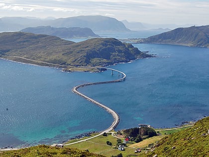
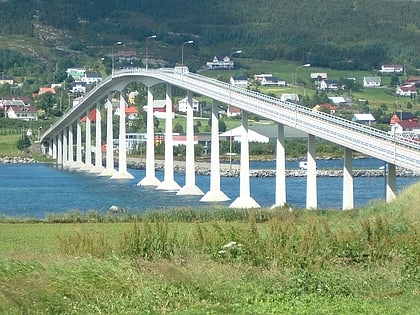
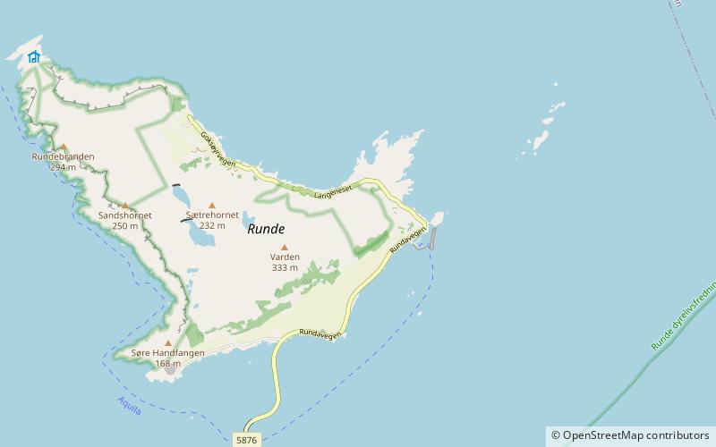
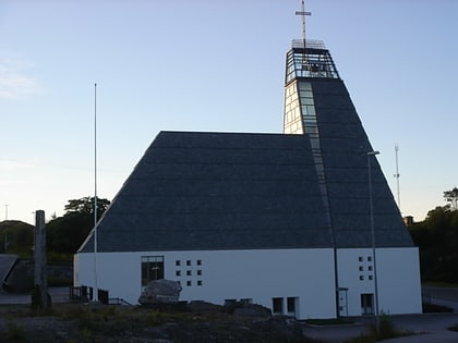
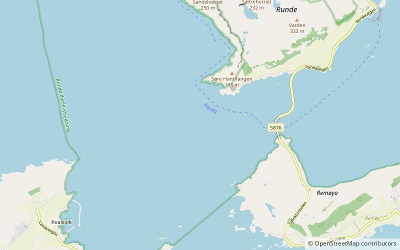
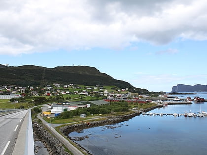
Nearby attractions include: Runde Miljøsenter, Runde Bridge, Nerlandsøy Bridge, Hellestien-Blåfjellet-Kløfjellet-Geita Bird Sanctuary.

