Jordalsvatnet, Bergen
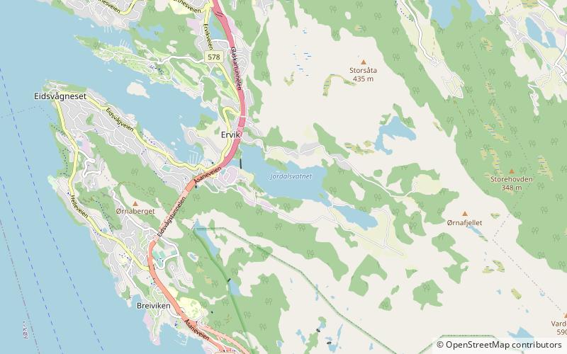
Map
Facts and practical information
Jordalsvatnet is a lake in the municipality of Bergen in Vestland county, Norway. The 0.57-square-kilometre artificial lake has a small dam on the western end and it is the main source of drinking water for the borough of Åsane in the city of Bergen, as well as the Ytre Sandviken parts of the neighboring Bergenhus borough. The lake lies east of the village of Eidsvåg, with the European route E39 highway running along the western shoreline. The surrounding valley of Jordalen is primarily agricultural in nature. ()
Alternative names: Length: 4921 ftWidth: 1804 ftElevation: 52 ft a.s.l.Coordinates: 60°26'7"N, 5°20'11"E
Address
Åsane (Eidsvåg)Bergen
ContactAdd
Social media
Add
Day trips
Jordalsvatnet – popular in the area (distance from the attraction)
Nearby attractions include: Bergenhus Fortress, Åsane Storsenter, Biskopshavn Church, Sverresborg.
Frequently Asked Questions (FAQ)
How to get to Jordalsvatnet by public transport?
The nearest stations to Jordalsvatnet:
Bus
Bus
- Eidsvåg E39 • Lines: 300 (14 min walk)
- Handelshøyskolen • Lines: 300 (34 min walk)

