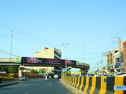
Chowk Kumharanwala Level II Flyover, Multan
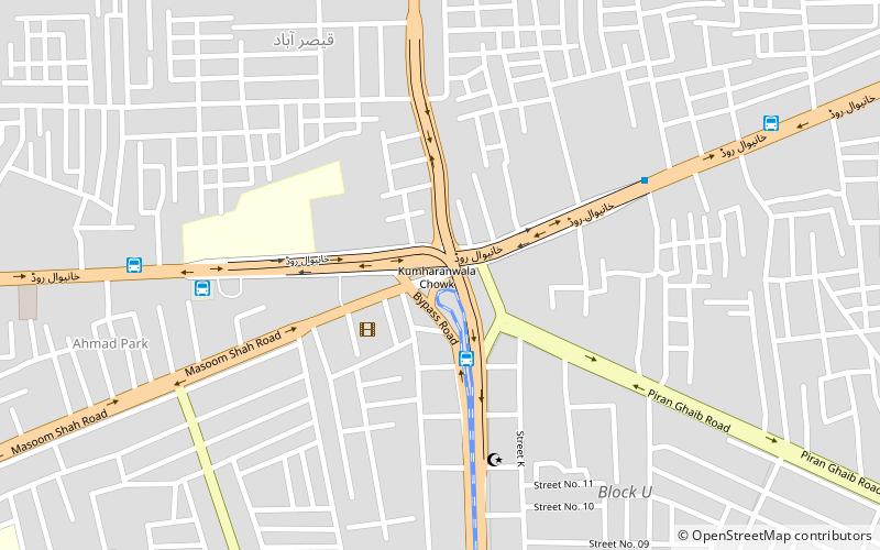
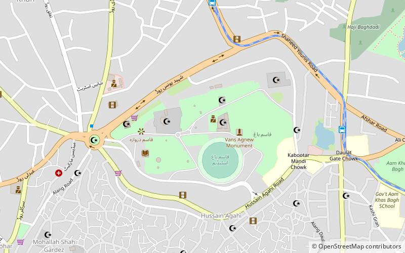
Map
Facts and practical information
Chowk Kumharanwala Level II Flyover also called Jinnah Chowk Flyover is located in Multan city of Pakistan, at an intersection itself called as Chowk Kumharanwala, Jinnah Chowk or Qadaffi Chowk. Foundation stone was put by former prime minister Yousaf Raza Gillani and ground breaking of level I flyover was also done by Yousaf Raza Gillani on 26 April 2011. It was constructed as part of Inner Ring Road Multan project. ()
Coordinates: 30°12'36"N, 71°30'54"E
Address
Multan
ContactAdd
Social media
Add
Day trips
Chowk Kumharanwala Level II Flyover – popular in the area (distance from the attraction)
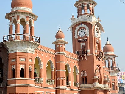
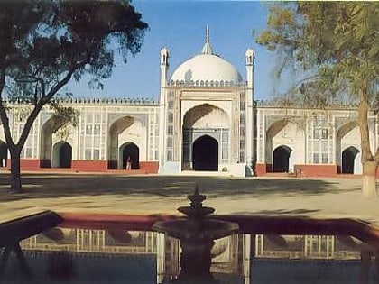
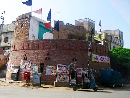
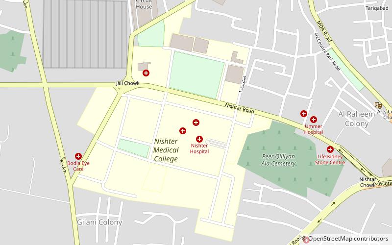
Nearby attractions include: Ghanta Ghar, Shahi Eid Gah Mosque, Bloody Bastion, Nishtar Medical College.
Frequently Asked Questions (FAQ)
How to get to Chowk Kumharanwala Level II Flyover by public transport?
The nearest stations to Chowk Kumharanwala Level II Flyover:
Bus
Bus
- Kumharanwala Chowk Metrobus (3 min walk)
- Daewoo Bus Terminal (8 min walk)
