Puka Suntu, Cotahuasi Subbasin Landscape Reserve
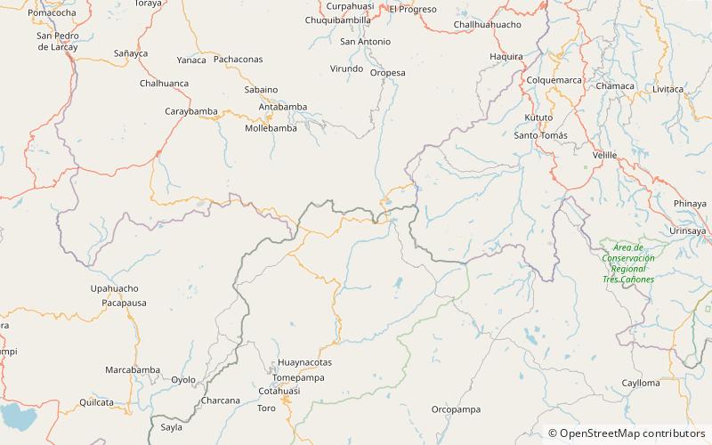
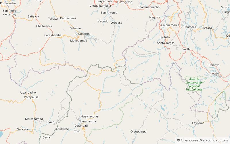
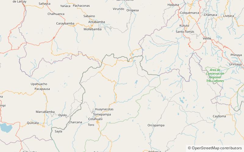
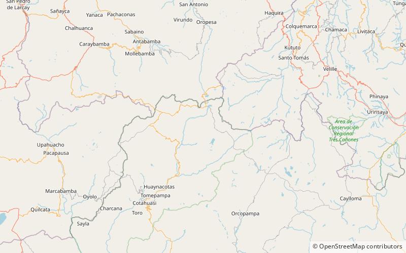
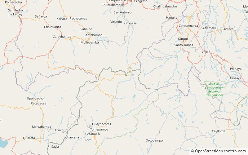
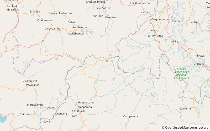
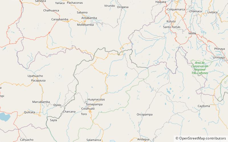
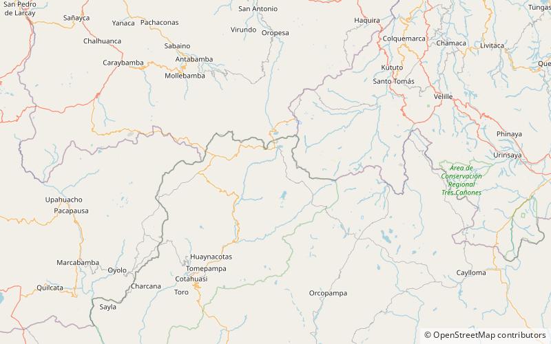
Map
Facts and practical information
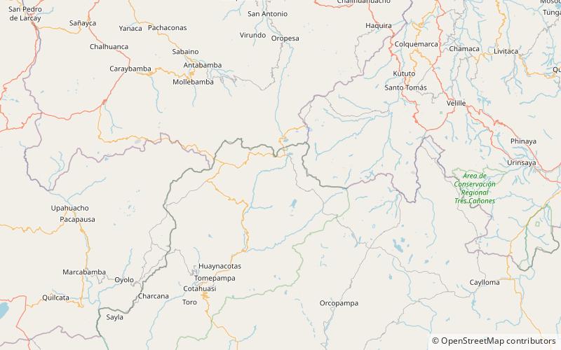
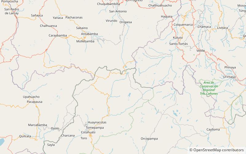
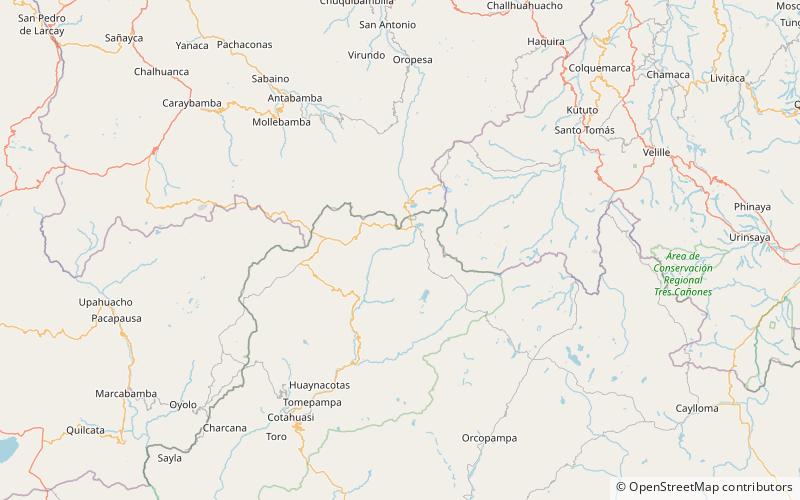
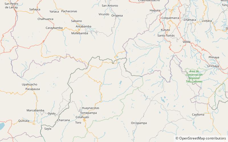
Puka Suntu is a mountain in the Wansu mountain range in the Andes of Peru, about 5,200 metres high. It lies in the Arequipa Region, La Unión Province, Puyca District. Puka Suntu is situated at the bank of the Qumpi P'allqa River. Yuraq Rumi is to the northeast, beyond the river. ()
Coordinates: 14°46'59"S, 72°35'0"W
Address
Cotahuasi Subbasin Landscape Reserve
ContactAdd
Social media
Add
Day trips
Puka Suntu – popular in the area (distance from the attraction)
Nearby attractions include: Aqu Suntu, Anka Phawa, Challwa Q'asa, Chawpi Chawpi.
