Chunta Pata, Cotahuasi Subbasin Landscape Reserve
Map
Facts and practical information
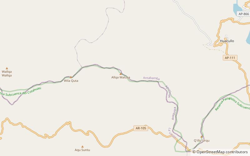
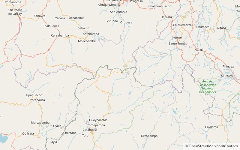
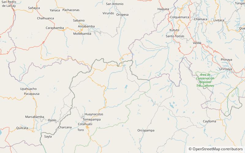
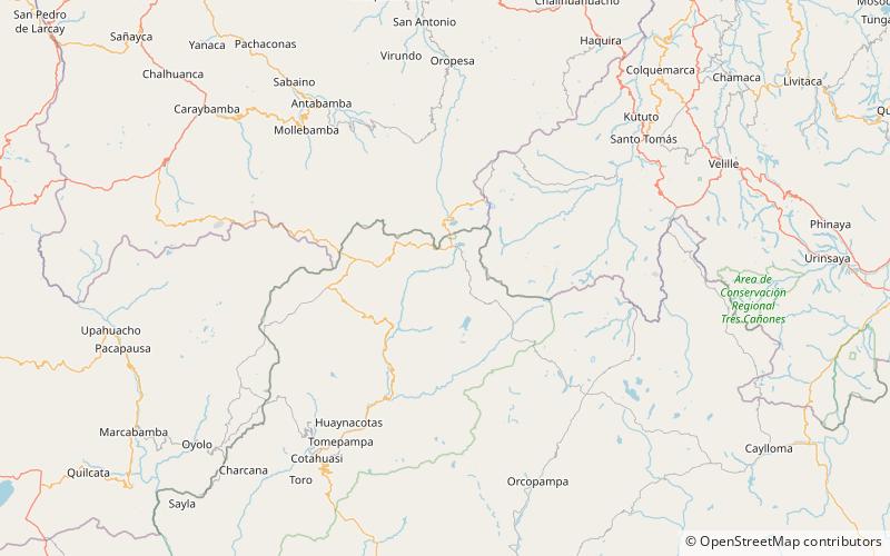
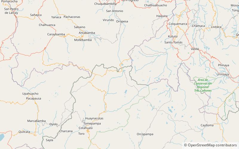
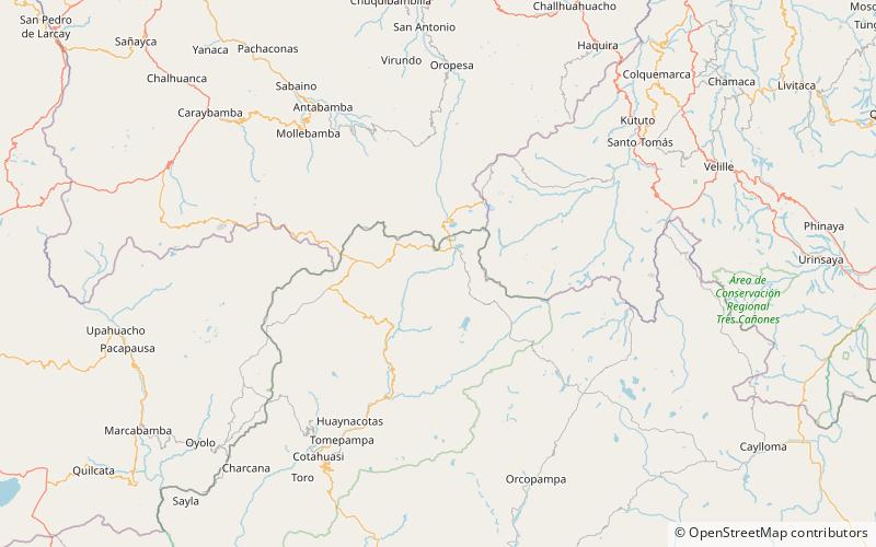
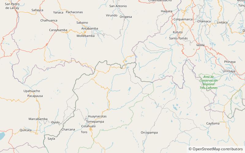
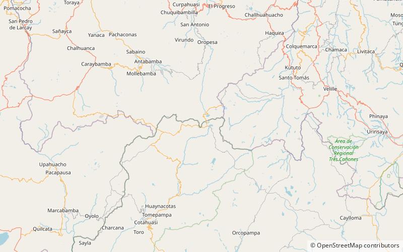
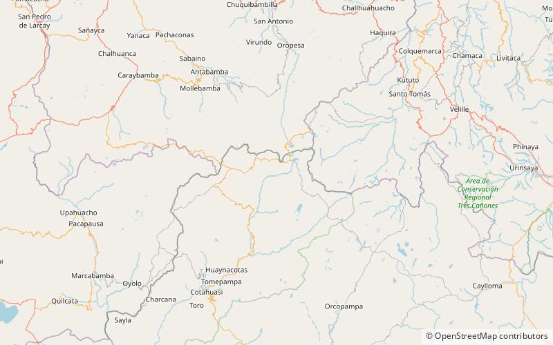
Chunta Pata is a mountain in the Wansu mountain range in the Andes of Peru, about 5,000 metres high. It is located in the Arequipa Region, La Unión Province, Huaynacotas District. It lies southwest of Q'illu Urqu. ()
Coordinates: 14°45'16"S, 72°36'39"W
Address
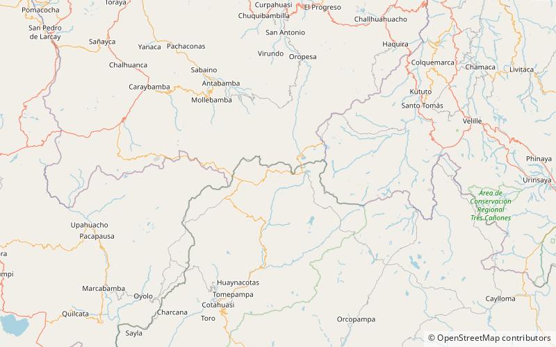
Cotahuasi Subbasin Landscape Reserve
ContactAdd
Social media
Add
Day trips