Tintaya, Cotahuasi Subbasin Landscape Reserve
#23 among attractions in Cotahuasi Subbasin Landscape Reserve
Facts and practical information
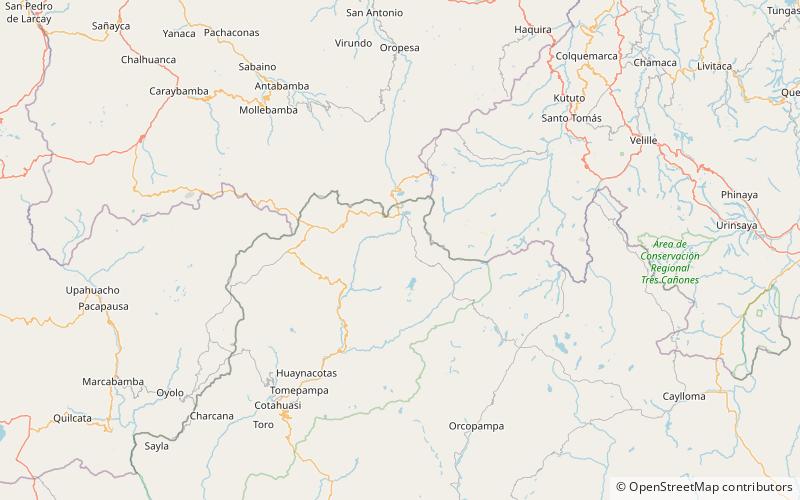
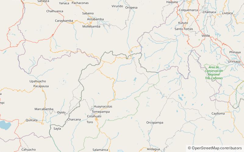
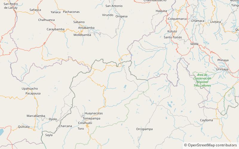
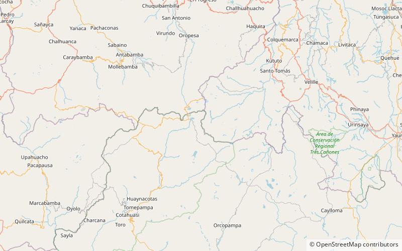
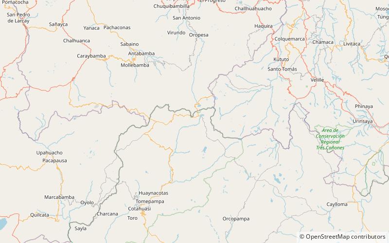
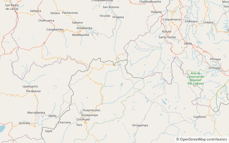
Tintaya is a 5,230-metre-high mountain in the Wansu mountain range in the Andes of Peru. It is located in the Arequipa Region, La Unión Province, Puyca District. Tintaya lies west of Yuraq Punta. ()
Cotahuasi Subbasin Landscape Reserve Peru
Tintaya – popular in the area (distance from the attraction)
Nearby attractions include: Chawpi Chawpi, Khirki Urqu, Chunta Pata, Chhijmuni.
 Mountain
Chawpi Chawpi, Cotahuasi Subbasin Landscape Reserve
36 min walk • Chawpi Chawpi is a mountain in the Wansu mountain range in the Andes of Peru, about 5,200 metres high. It is situated in the Arequipa Region, La Unión Province, Puyca District.
 Mountain
Khirki Urqu, Cotahuasi Subbasin Landscape Reserve
160 min walk • Khirki Urqu is a mountain in the Wansu mountain range in the Andes of Peru, about 5,000 m high. It is located in the Arequipa Region, La Unión Province, Huaynacotas District. Khirki Urqu lies southwest of Q'illu Urqu.
 Mountain
Chunta Pata, Cotahuasi Subbasin Landscape Reserve
127 min walk • Chunta Pata is a mountain in the Wansu mountain range in the Andes of Peru, about 5,000 metres high. It is located in the Arequipa Region, La Unión Province, Huaynacotas District. It lies southwest of Q'illu Urqu.
 Mountain
Chhijmuni, Cotahuasi Subbasin Landscape Reserve
178 min walk • Chhijmuni is a 5,080-metre-high mountain in the Wansu mountain range in the Andes of Peru. It is located in the Arequipa Region, La Unión Province, Puyca District. Chhijmuni lies south of Wayta Urqu.
 Mountain
Chunta, Cotahuasi Subbasin Landscape Reserve
43 min walk • Chunta is a mountain in the Wansu mountain range in the Andes of Peru, about 5,100 metres high. It is located in the Arequipa Region, La Unión Province, Puyca District. It lies south of the river Qumpi Pallqa, northwest of Tintaya and east of Puka Suntu. Chunta is also the name of a slightly lower mountain southeast of Tintaya.
 Mountain
Kuntur K'uchu, Cotahuasi Subbasin Landscape Reserve
158 min walk • Kuntur K'uchu is a mountain in the Wansu mountain range in the Andes of Peru, about 5,200 metres high. It is situated in the Arequipa Region, La Unión Province, Puyca District, and in the Cusco Region, Chumbivilcas Province, Santo Tomás District. It lies northwest of Qullpa and north of Pichaqani.
 Mountain
Yuraq Rumi, Cotahuasi Subbasin Landscape Reserve
119 min walk • Yuraq Rumi is a mountain in the Wansu mountain range in the Andes of Peru, about 5,000 metres high. It is situated in the Arequipa Region, La Unión Province, Puyca District. Yuraq Rumi lies southeast of Q'illu Urqu.
 Mountain
Rumi Urqu, Cotahuasi Subbasin Landscape Reserve
82 min walk • Rumi Urqu is a mountain in the Wansu mountain range in the Andes of Peru, about 5,000 metres high. It is situated in the Arequipa Region, La Unión Province, Puyca District. Rumi Urqu lies at the bank of the Qumpi P'allqa River. Yuraq Rumi is to the northeast, beyond the river.
 Mountain
Puka Suntu, Cotahuasi Subbasin Landscape Reserve
59 min walk • Puka Suntu is a mountain in the Wansu mountain range in the Andes of Peru, about 5,200 metres high. It lies in the Arequipa Region, La Unión Province, Puyca District. Puka Suntu is situated at the bank of the Qumpi P'allqa River. Yuraq Rumi is to the northeast, beyond the river.
 Mountain
Wayta Urqu, Cotahuasi Subbasin Landscape Reserve
165 min walk • Wayta Urqu is a mountain in the Wansu mountain range in the Andes of Peru, about 5,100 metres high. It is situated in the Arequipa Region, La Unión Province, Puyca District. Wayta Urqu lies north of Chhijmuni.