Plaza Moriones, Manila
Map
Gallery
Facts and practical information
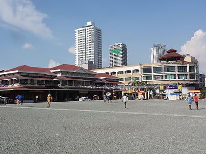
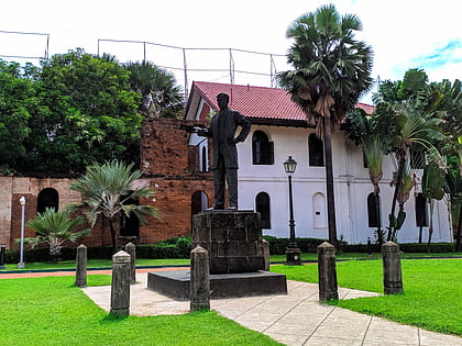
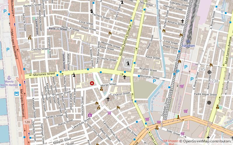
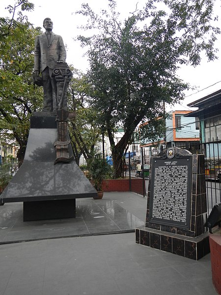
Plaza Moriones is a major public square in Tondo, Manila. Unlike other squares in Manila, the plaza is in the shape of a linear park occupying the central median of Moriones Street, starting at the intersection of Moriones and Juan Luna Streets, and ending at the intersection with Santa Maria Street, bisected by Nicolas Zamora Street in the center. It is named after Governor-General Domingo Moriones y Muralla, responsible for the construction of Manila's sewerage system during his tenure from 1877 to 1881. ()
Coordinates: 14°36'35"N, 120°58'5"E
Address
TondoManila
ContactAdd
Social media
Add
Day trips
Plaza Moriones – popular in the area (distance from the attraction)
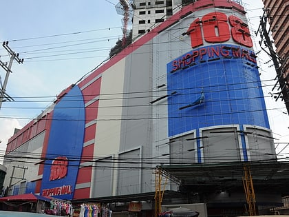
Nearby attractions include: Divisoria, 168 Shopping Mall, Tutuban Center, Binondo Church.
Frequently Asked Questions (FAQ)
Which popular attractions are close to Plaza Moriones?
Nearby attractions include Evangelical Methodist Church in the Philippine Islands, Manila (8 min walk), Philippine Cultural College, Manila (13 min walk), Saint Peter's Episcopal Church, Manila (15 min walk), San José de Trozo Parish, Manila (16 min walk).
How to get to Plaza Moriones by public transport?
The nearest stations to Plaza Moriones:
Bus
Train
Ferry
Light rail
Metro
Bus
- Juan Luna-Moriones • Lines: T366 (2 min walk)
- Plaza Moriones • Lines: 305, T314, T366 (3 min walk)
Train
- Tutuban (10 min walk)
- Solis (33 min walk)
Ferry
- Manila Pier 4 • Lines: Manila - Coron (22 min walk)
- Escolta • Lines: Pasig River Ferry (29 min walk)
Light rail
- Bambang • Lines: 1 (25 min walk)
- Doroteo Jose • Lines: 1 (26 min walk)
Metro
- Recto • Lines: 2 (29 min walk)


