Baguio Cemetery, Baguio
Map
Facts and practical information
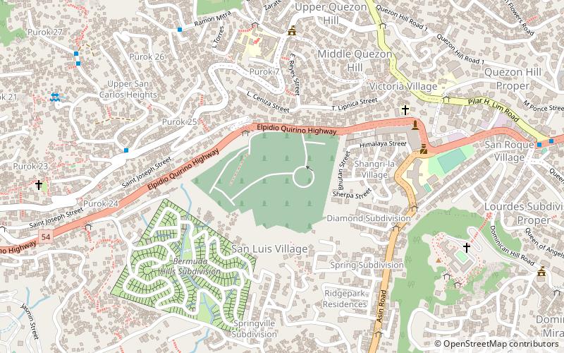
Baguio Cemetery is a 94,800-square-meter cemetery in the city of Baguio, Philippines, on top of a hill along Naguilian Road. ()
Coordinates: 16°24'42"N, 120°34'30"E
Address
Quirino HighwayBaguio
ContactAdd
Social media
Add
Getting there by public transportation
Public transportation stops near this location
- Bus
 Bus
Bus
- Calculate routeMiddle Quezon Hill Outpost 8 min walk
- Calculate routeVictoria Village Barangay Hall 8 min walk
- Calculate routeQuezon Hill Elementary School 8 min walk
- Calculate routeGold 9 min walk
Day trips


Frequently Asked Questions (FAQ)
How to get to Baguio Cemetery by public transport?
The nearest stations to Baguio Cemetery:
Bus
Bus
- Middle Quezon Hill Outpost • Lines: Quezon Hill, San Carlos Heights Extension (8 min walk)
- Victoria Village Barangay Hall • Lines: Quezon Hill, San Carlos Heights Extension, Tam-Awan (8 min walk)