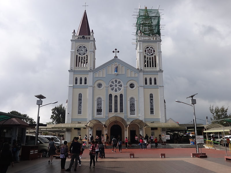
Gateway Community Church, Baguio
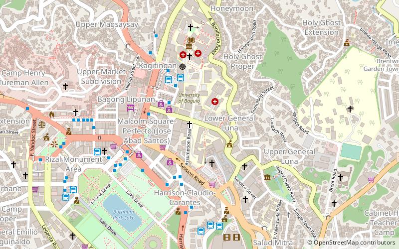
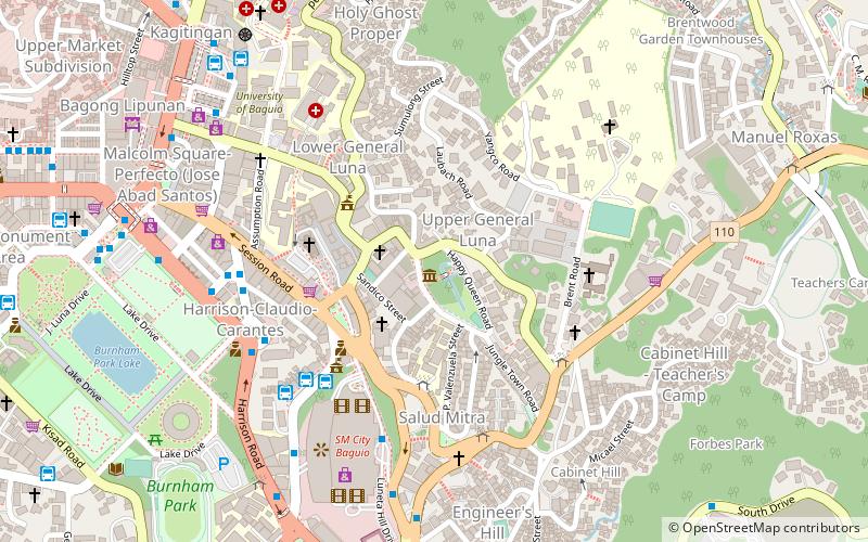
Map
Facts and practical information
Gateway Community Church is a diversified denomination and one of the few churches in Baguio, Philippines. ()
Coordinates: 16°24'52"N, 120°35'53"E
Getting there by public transportation
Public transportation stops near this location
- Bus
 Bus
Bus
- Calculate routeUcab / Keystone Terminal 3 min walk
- Calculate routeGeneral Luna Road 4 min walk
- Calculate routeItogon / Sangilo Terminal 4 min walk
- Calculate routeGL Trans - Baguio Terminal 4 min walk
Day trips


Frequently Asked Questions (FAQ)
Which popular attractions are close to Gateway Community Church?
Nearby attractions include University of Baguio, Baguio (2 min walk), Baguio Cathedral, Baguio (4 min walk), Saint Louis University, Baguio (7 min walk), General Emilio Aguinaldo Museum, Baguio (7 min walk).
How to get to Gateway Community Church by public transport?
The nearest stations to Gateway Community Church:
Bus
Bus
- Ucab / Keystone Terminal • Lines: Ucab (3 min walk)
- General Luna Road • Lines: Itogon / Sangilo, Ucab (4 min walk)