Kamuning Road, Quezon City
Map

Map

Facts and practical information
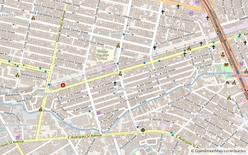
Kamuning Road is a short road located in Quezon City, Philippines. It is a road in a generally east–west orientation between the intersection with Epifanio de los Santos Avenue in Diliman and the junction with Tomas Morato Avenue in Diliman, Quezon City. It is served by the Kamuning station of the Manila MRT-3. ()
Length: 4469 ftCoordinates: 14°37'42"N, 121°2'20"E
Day trips
Kamuning Road – popular in the area (distance from the attraction)
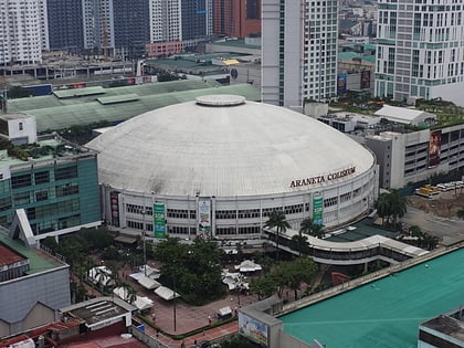
Nearby attractions include: Araneta Center, Robinsons Magnolia, Smart Araneta Coliseum, Ali Mall.
Frequently Asked Questions (FAQ)
Which popular attractions are close to Kamuning Road?
Nearby attractions include Tomas Morato Avenue, Quezon City (11 min walk), Bernardo Park, Quezon City (11 min walk), Asian Theological Seminary, Quezon City (12 min walk), Timog Avenue, Quezon City (14 min walk).
How to get to Kamuning Road by public transport?
The nearest stations to Kamuning Road:
Bus
Light rail
Metro
Bus
- K-1st • Lines: 303 (1 min walk)
- K-2nd - Judge Jimenez • Lines: 303, T223 (2 min walk)
Light rail
- GMA Kamuning • Lines: 3 (15 min walk)
- Quezon Avenue • Lines: 3 (25 min walk)
Metro
- Betty Go - Belmonte • Lines: 2 (19 min walk)
- Araneta Center - Cubao • Lines: 2 (26 min walk)


