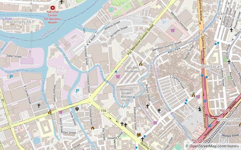
Quirino Avenue, Manila
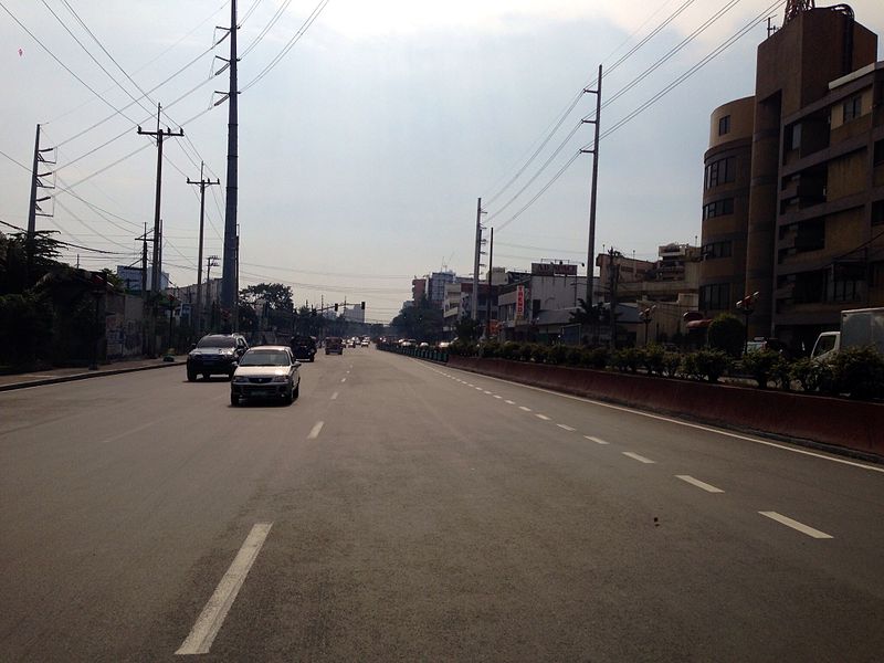
Facts and practical information
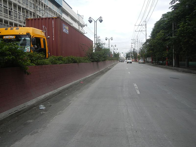
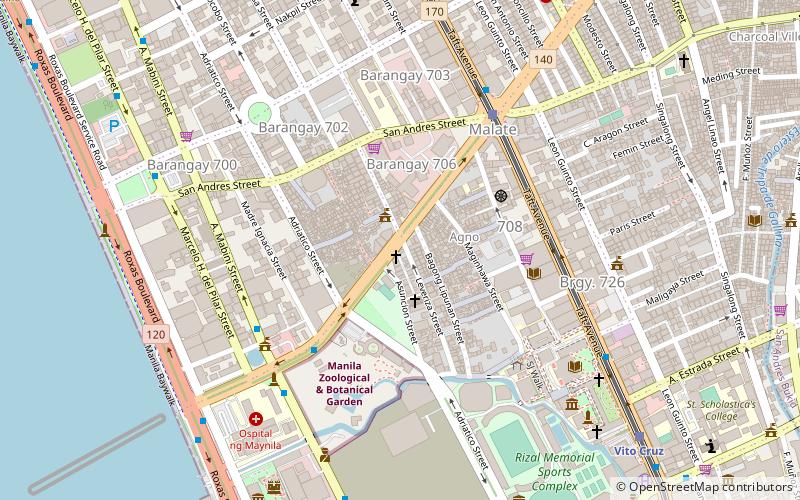
President Elpidio Quirino Avenue, more commonly known as Quirino Avenue, is a 6-10 lane divided highway in Manila, Philippines. It runs for 3.6 kilometers in a northeast–southwest direction from Nagtahan Bridge across from Santa Mesa in the north to Roxas Boulevard in Malate in the south. It passes through Paco and Pandacan districts where it also serves as a truck route between Port Area and South Luzon Expressway. North of Nagtahan Bridge, the road continues as Nagtahan Street. It is designated as part of Circumferential Road 2. ()
PacoManila
Quirino Avenue – popular in the area (distance from the attraction)
Nearby attractions include: Robinsons Place Manila, Jesus Is Lord Church Worldwide, Paco Park, Saint Cecilia's Hall.
Frequently Asked Questions (FAQ)
Which popular attractions are close to Quirino Avenue?
How to get to Quirino Avenue by public transport?
Train
- San Andres (8 min walk)
- Paco (8 min walk)
Bus
- Guadalupe-L. Guinto Jeepney Terminal • Lines: T324 (12 min walk)
- Angel Linao • Lines: 301 (12 min walk)
Light rail
- Quirino • Lines: 1 (13 min walk)
- Pedro Gil • Lines: 1 (14 min walk)
Ferry
- Santa Ana • Lines: Pasig River Ferry (30 min walk)


